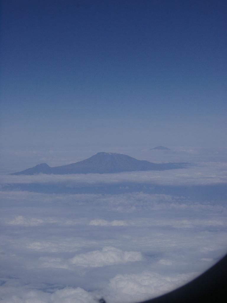
View of Mt. Kilimanjaro (and Mt. Meru) from the airplane.
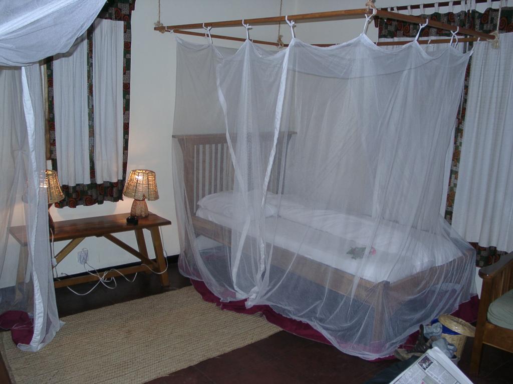
My first mosquito-netted bed at Moivaro Coffee Planation.
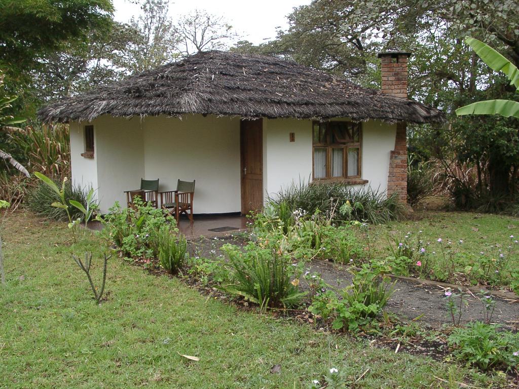
Moivaro Hut #1
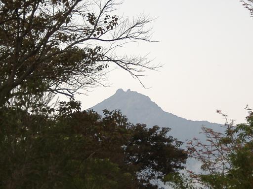
Mt. Meru peak (second tallest mountain in Tanzania), right in Arusha's backyard.
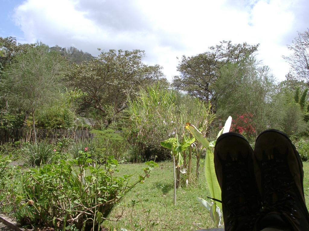
Day before: Kicking back outside the room, waiting for the bus.
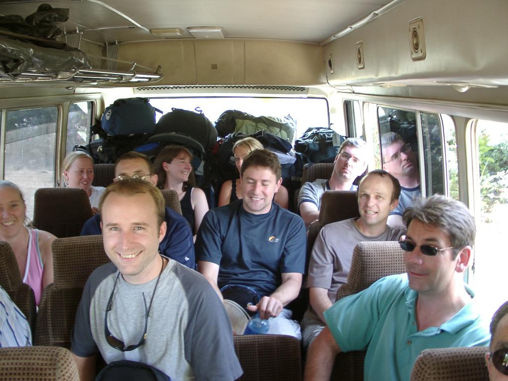
Day before: Our cool group crammed in the bus with evil Exodus-group people!
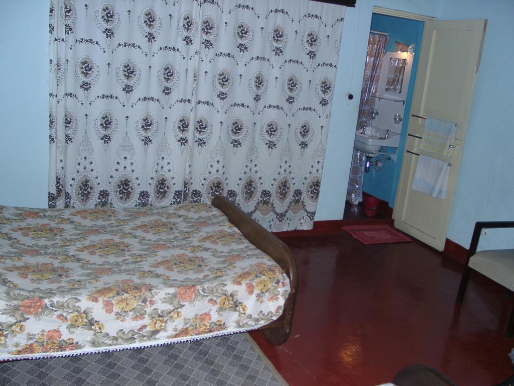
Day before: The Kibo Hotel was a bit of a downgrade from Moivaro. . .
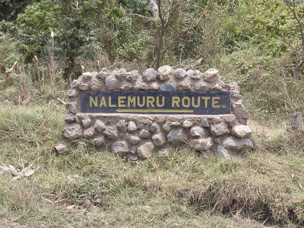
Day One: The hike starts at 1950 m (6400 ft), near the town of Rongai on the Tanzania/Kenya border.
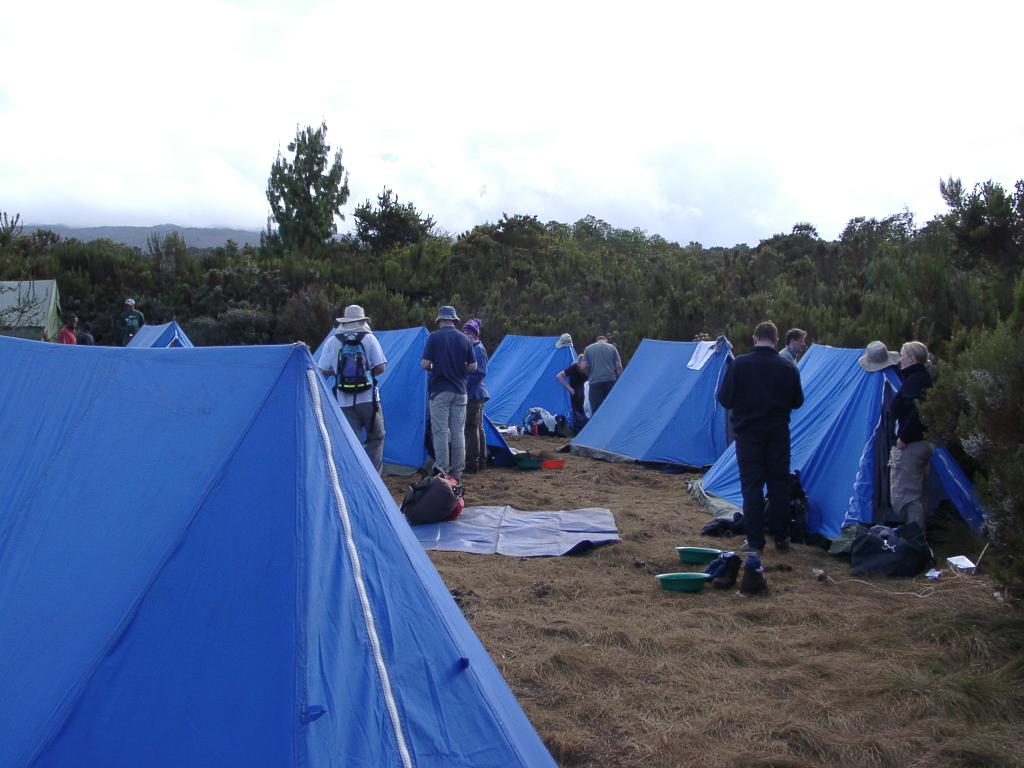
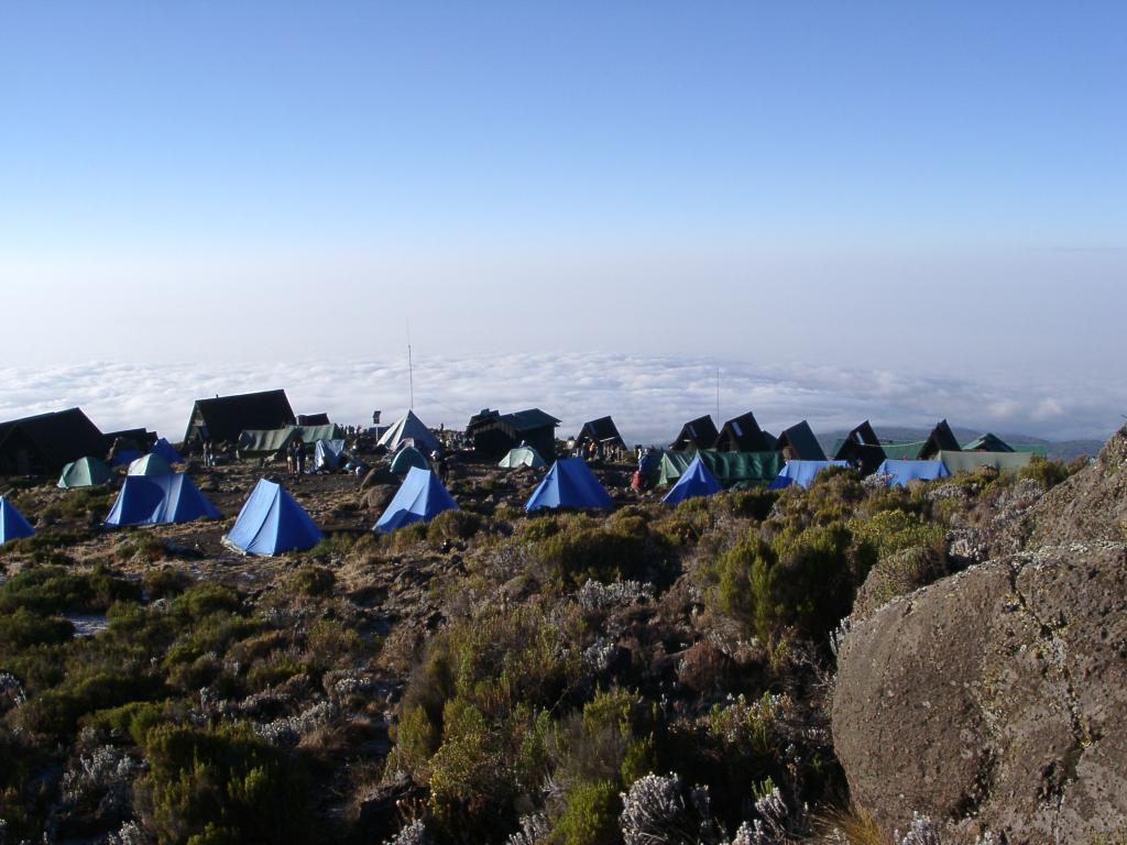
Day One: Rongai Camp, 2600 m (8850 ft)
Day Two: Our first cloudless view of Kibo, the highest of the three major cones of Kilimanjaro, and our summit goal.
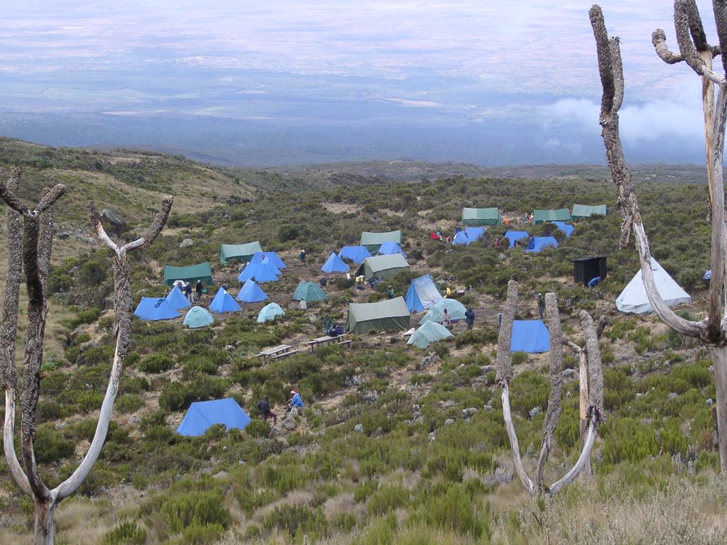
Day Two: Kikelewa Cave Camp, 3600 m (11,800 ft), as viewed from short acclimation hike.
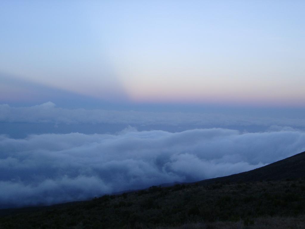
Day Two: Dusk near camp.
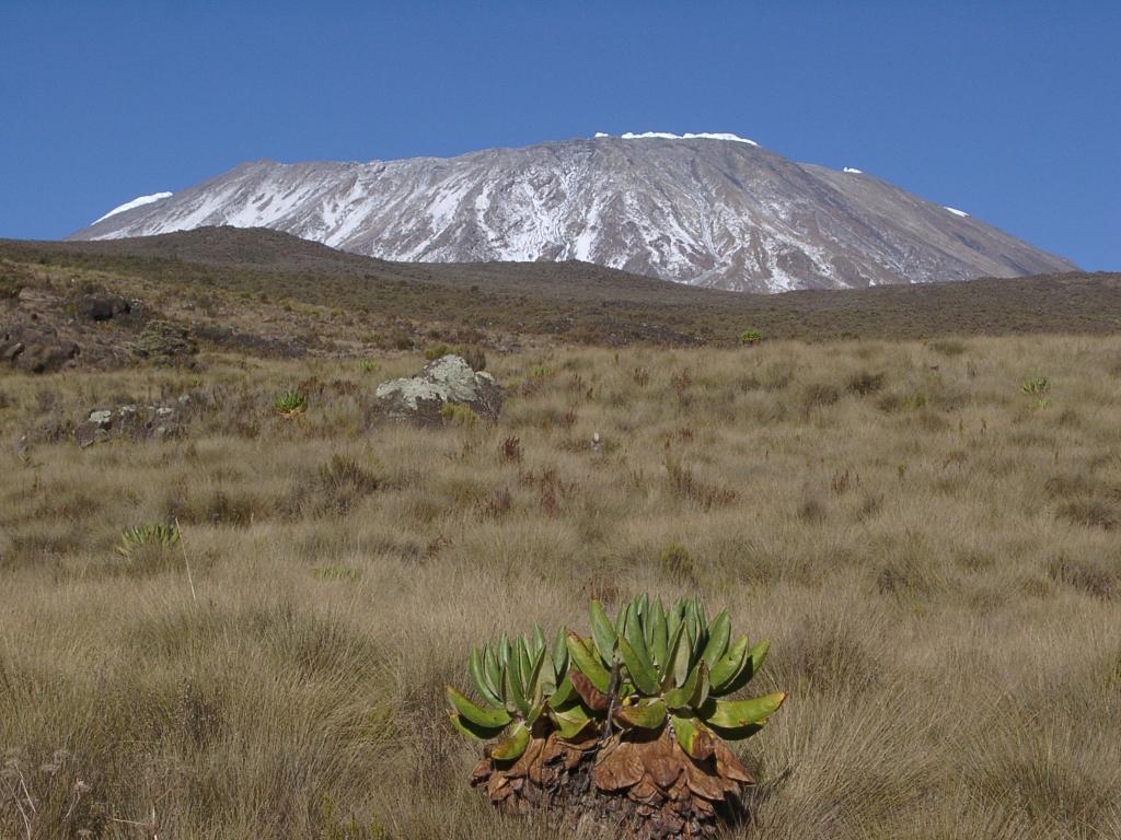
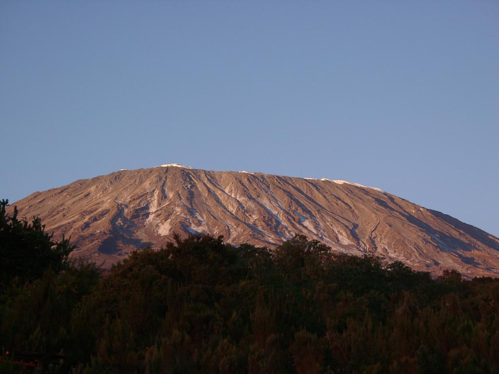
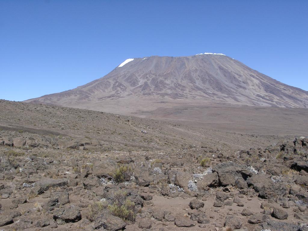
Day Three: It snowed overnight, making Kibo look much more impressive.
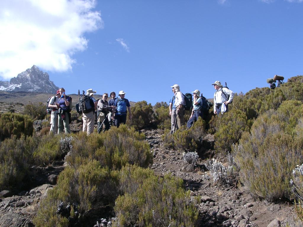
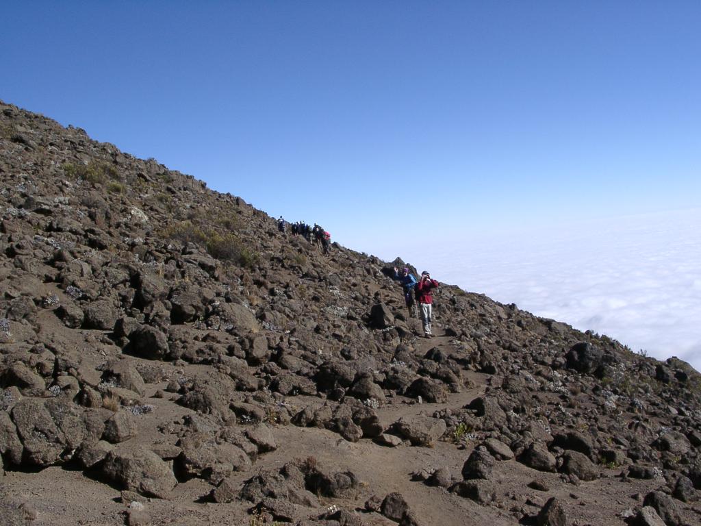
Day Three: One of the many stops to allow porters to pass.
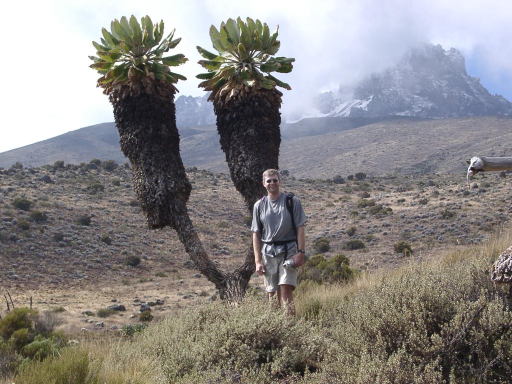
Day Three: They don't call them giant Senecios for nothing
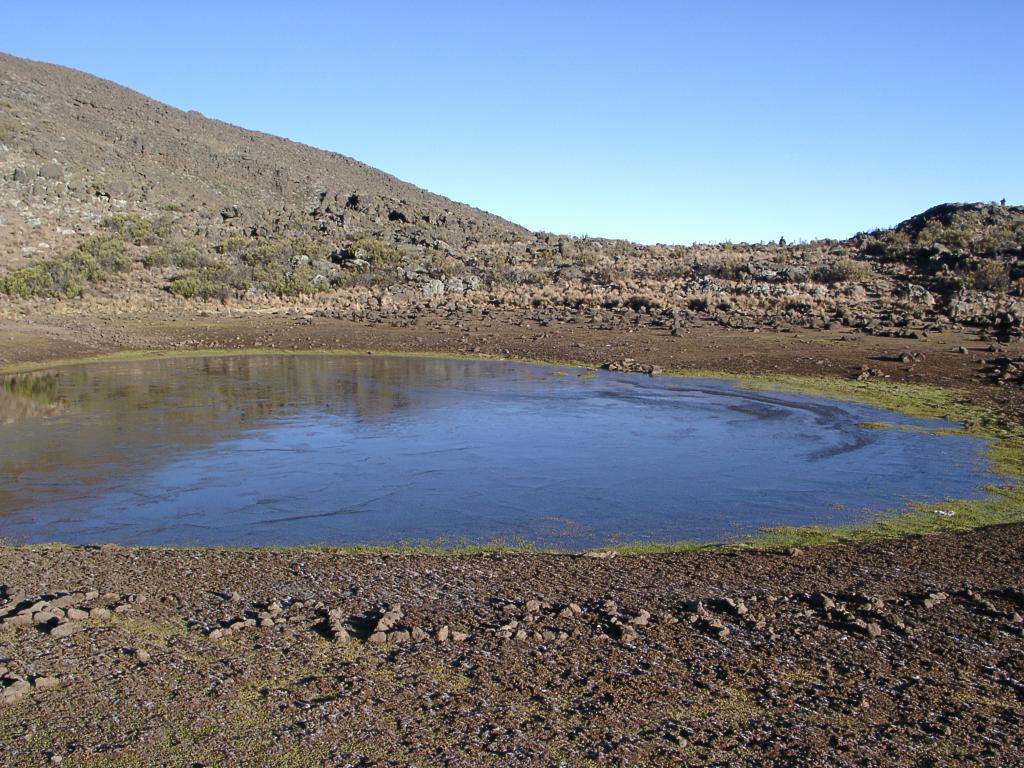
Day Four: In the morning, under Mawenzi, the tarn (mountain lake) next to our camp is frozen over at 4330 m (14,200 ft).
Day Four: On the way from Mawenzi to Kibo.
Day Four: Getting closer!
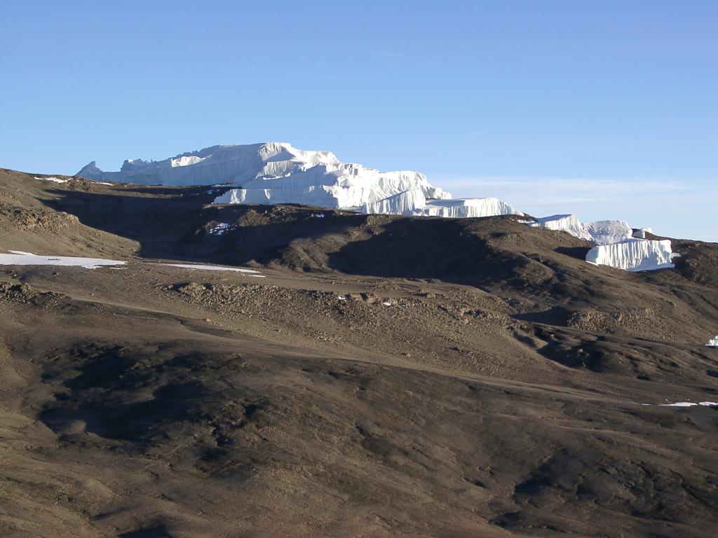
Day Five: After starting very early at Kibo Hut (4700 m; 15,400 ft), we reach Gillmans Point (5686 m; 18,650 ft) and see one of the glaciers (6:30 am).
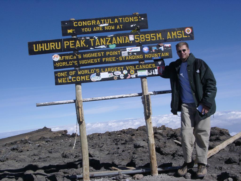
Day Five: Two hours later, I made it! (5895 m; 19,340 ft)
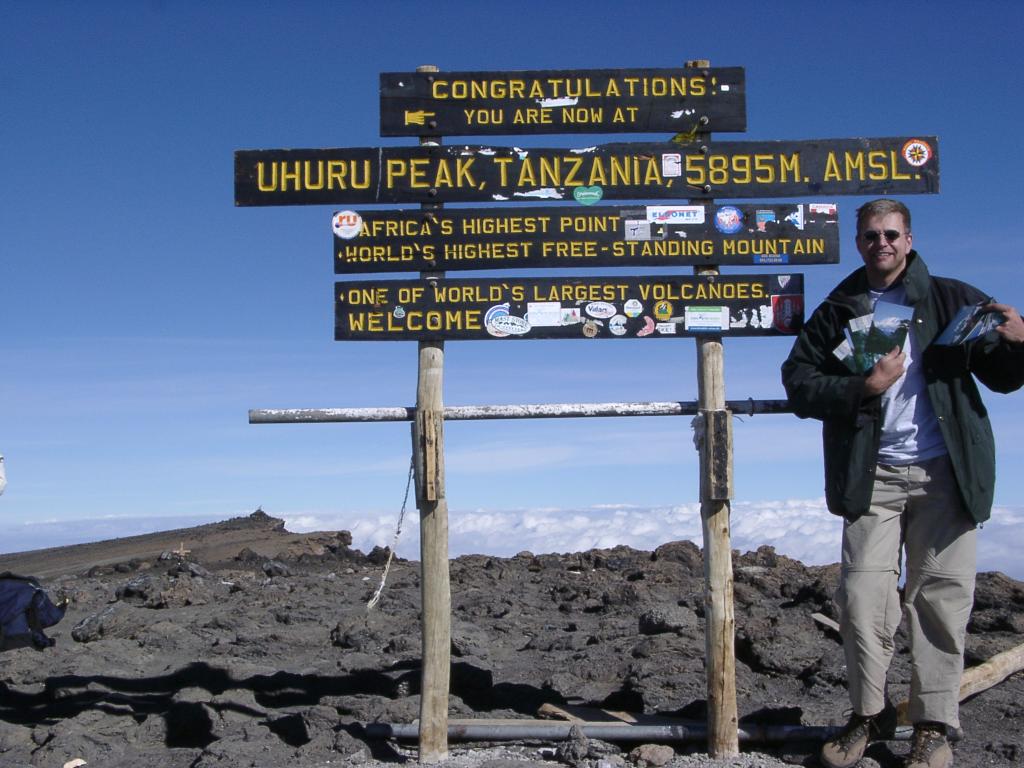
Day Five: The infamous postcards.
Day Six: Horombo campsite in the morning (3720 m, 12,200 ft) -- we made a long hike here after summiting.
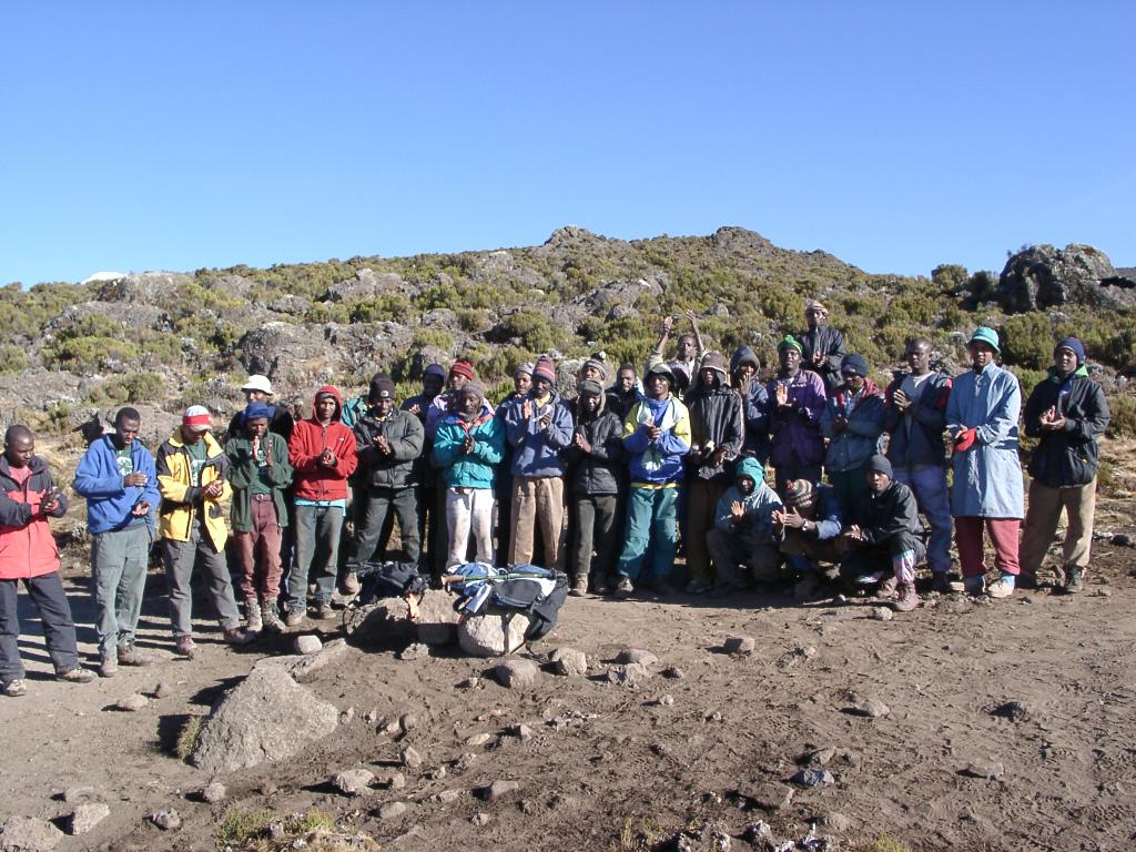
Day Six: The crew required to support twelve people.
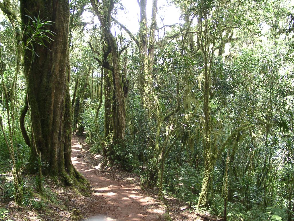
Day Six: Near the end of the hike down the verdant Marangu Route.