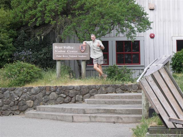
Pt. Reyes Hill: It was still dark--this was the closest I could get to the "top"
So I got up around 1:15am, and after a quick shower and some food, was out the door. Figured I'd be way early but got stuck behind some car with a "Keep Tahoe Blue" bumped sticker. Sparky! Turns out she nearly hit a deer or something.
I had a goal for this hike--finish by 4pm (12 hours). This would make it possible to drive down to San Fran for Elaine's wedding reception. In anticipation, I ironed and packed all my dress clothes the night before. I was committed--it was going to happen, so help me God.
Had just finished lacing my boots when the 4am start rolled around. Russ and Hima had already left, which was "wrong", but was happy to see everyone stream out of the hostel just about right on time. Still, lack of sleep made me snippity. . .but I wouldn't see anyone for most of the day, so it was A-OK!
Had already passed Russ and Hima at this point, so was making good time (considering this was one of the longer climbs on this relatively flat hike). Unfortunately, I would later take a wrong turn and hike two miles toward the start of the hike. . .resulting a 4-mile detour. D'oh!

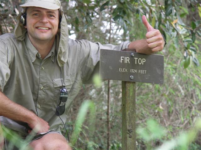
Fir Top: This can't be the highest point, but they have a fine sign (GPS says 25.9 miles).
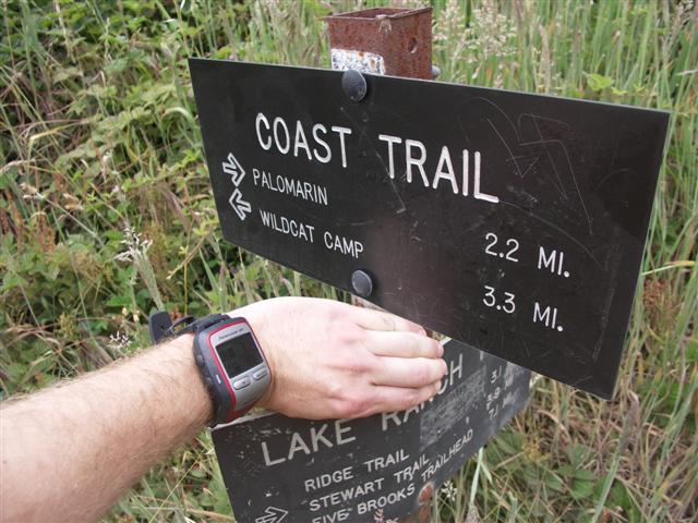
Lake Ranch and Coast Trail intersection: Peter wouldn't add this to the picture list.
One could cut off six or seven miles by going directly from Fir Top to Arch Rock. . .
.JPG)
Arch Rock: Where's the arch? (and why didn't I take my headphones off?)
.JPG)
Arch Rock: On top of Arch Rock--38 miles, should nearly be done if I hadn't added 4 miles. . .
.JPG)
The route on MotionBased Garmin Connect. See that first dip from 750 ft to 200 ft and back up? That's me getting lost.
After a cold shower at the hostel, I managed to find a 7-11 (Slurpee!--and none too soon, as I was seriously flagging), get lost, then eventually find a route to the GG bridge. Changed into a suit on the beach and made it to the Cliff House. I wasn't quite on time, but that was lucky too because I was allocated a no-show's seat--at the family table (to be clear, it was lucky for me; not so lucky for Elaine and Doug's family and neighbors!).
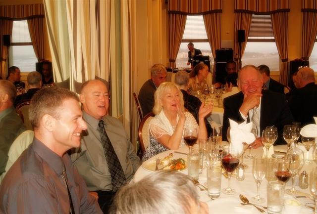
Later that evening at Elaine's great reception . . .drinking mostly coffee.