
| Main Page | Diary | Leaves | Stats |

954. Northern Black Diamond (11/01/14)
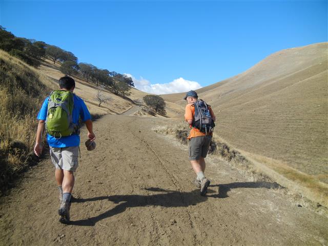
Hikers (29): Arlene, Biz, Carol, Clive, David, Hima, Iris, Jackie, James W, Jeff, Jeff V, Karl, Kathryn, Kevin, Michele, Nagendra, Paul, Peter M, Robert, Russ, Sabine, Sandy, Sarah, Sarbinder, Steve, Theresa, Tiffany, Warren, Zak
Distance: 12 miles
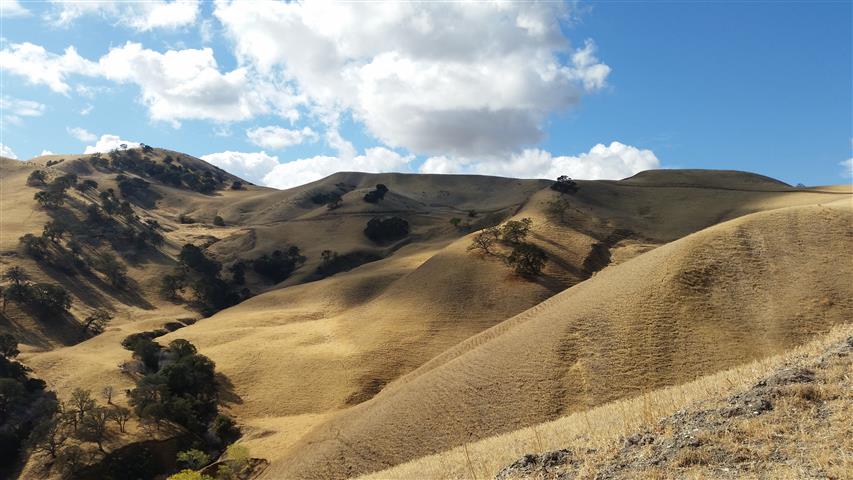
Rating: 2 difficulty, 8 beauty
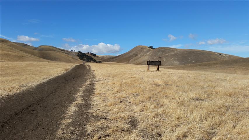
Park info: Black Diamond Mines Regional Preserve near Antioch
Write-up by Steve -- Pictures by Iris, Biz and Karl
It was looking like it might rain when the hike was scheduled, but that didn't deter people from signing up. On the night before the hike, it was still looking like a slight chance of rain, so a few fair-weather INCHers dropped out. . .but as it turned out, it was a perfect rain-free day. It was also not too warm, which is saying something for this normally hot area. Was hoping the entrance booth would not be manned (as on previous visits), but we weren't that lucky.
1-2-3 INCH!
While I had made (30!) maps, none of them indicated the direction of the loop we'd be doing. That was a good thing, because half a mile in I realized we were doing it backwards. The plan had been to get the flat part done early, along with the semi-gratuitous peak (Arata Overlook). But the reverse route worked just fine, and the flat part wasn't a drag at the end.
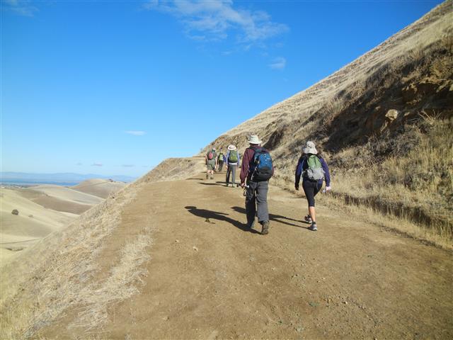
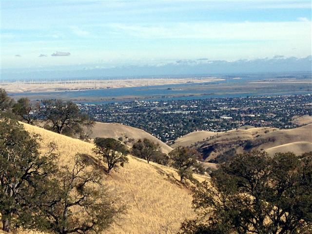
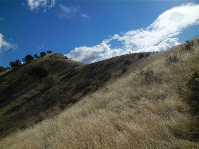
The good news about the going up River View Trail at the start was a gentle warm up. At the top of the trail, we could see Suisun Bay, which one assumes is the "river" view, because there isn't anything else remotely constituting a river.
A few ups and downs later, we were skirting the edge of the park near Contra Loma Regional Park. I had originally considered a loop around the reservoir, but decided to save that for a hotter day.
The "good" part about doing the hike in reverse was we wouldn't have to go down steep Lark Trail. Of course, that was "bad" news for some, because it's the toughest pitch in the park. But on a cooler day like today, it wasn't nearly as bad as prior visits.
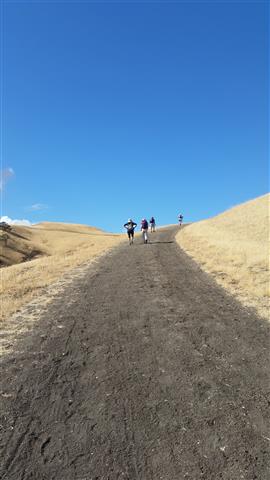
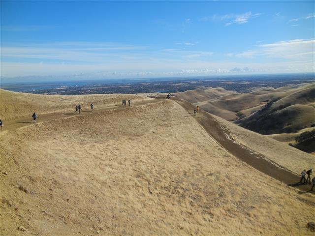
The final section of the hike was all new--a trip around the northern edge of the park and up to Arata Lookout. The lookout not at the peak. Sarbinder was a good tenth of a mile ahead of me, so when he got to the Arata Lookout "bench" (the trail is actually an access spur to a powerline tower), he proceeded to start hiking up the use trail to the summit. I mentioned to the front runners that this was technically optional, but we might as well do it since we'd have to wait for others. Since now everyone was going up, no one was there to inform the next group of people that it was optional, so everyone kept going.
After tagging the summit and coming back down, I waited to tell the trailing folks that it was optional. But mostly they went up, too. Why not--it's a hiking group, remember?
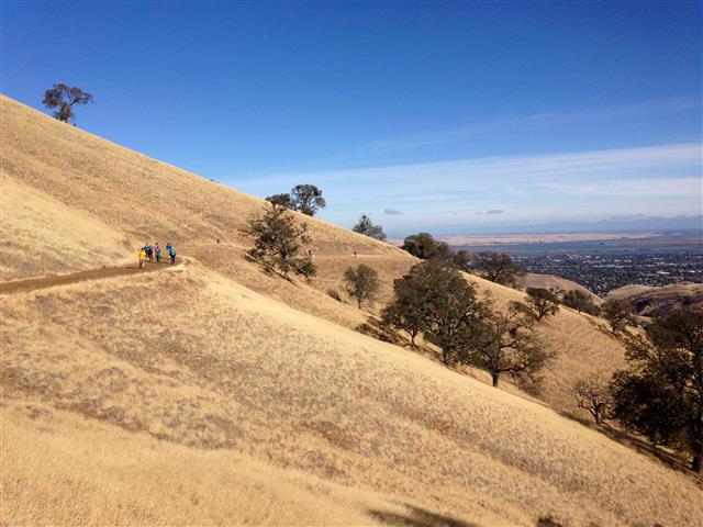
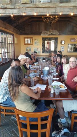
Great weather and a nice spacing between hills made for a fairly quick hike, although there was a fairly large gap between the first and last (chatty) group of hikers. Afterwards we visited a local brewery in Pittsburg. Can't recommend the service, but the beer was good!

Milestones:
Kevin's 50th leaf
Michele's 1st leaf
Russ's 580th leaf
![]()
![]()
Pages maintained by Steve Walstra,
Peter Saviz, and
Russell Gee.
©2026 Intrepid Northern California Hikers