


| Main Page | Diary | Leaves | Stats |

1347. Mt Grant (09/12/26)
Hikers (9): Christina, Crystal, Jeff, Milon, Nohemi, Sabine, Sophie, Steve, Susan S
Distance: 17 miles
Rating: 4 difficulty, 8 beauty
Park info: Hawthorne Army Ammunition Depot near Hawthorne, NV
Write-up by Steve -- Pictures by Susan S, Christina and Steve
We did the 9/11 Mt. Grant Memorial Challenge back in 2019, which is also the last time the event was held. But after a seven-year hiatus, Mineral County organized another Challenge to commemorate the 25th anniversary of 9/11. In addition to being a great charity event, it also provides access to the highest point in Mineral County as well as an opportunity for me to finally reach that point after going to the wrong location on our last visit.
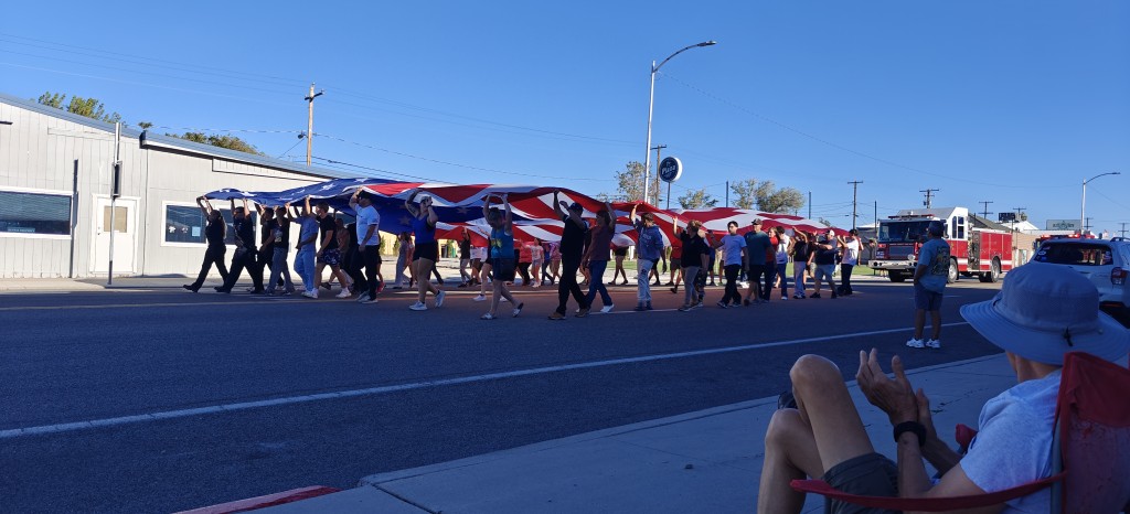
The event takes place in Hawthorne, Nevada, which is pretty far from everywhere. Thus almost everyone from California made a vacation of it by leaving Wednesday or Thursday in order to get there Friday afternoon to pick up the information packets (and watch the parade and eat spaghetti chili).
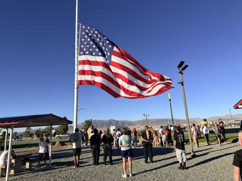
Those doing the full hike gathered for the 6:30 a.m. start next to the large parking area. Unlike last time, the organizers started everyone at the same time.
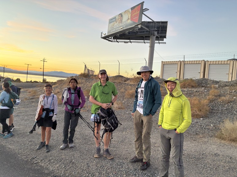
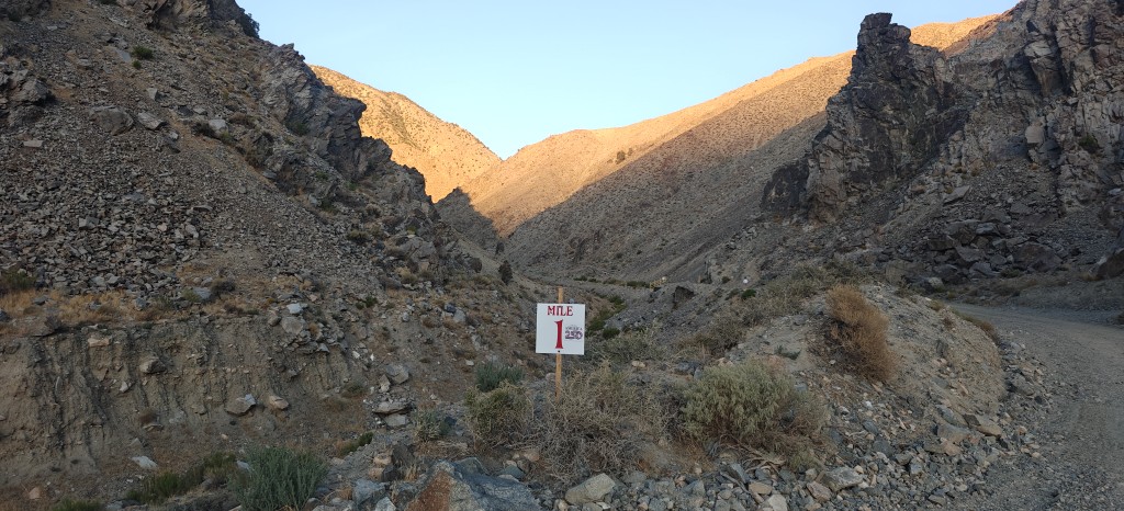
Just like last time, there were support locations every two or three miles to get food and water. And just like last time, I skipped breakfast and only brought water. Of course, even the water wasn't necessary, but it's easier to drink from a bladder than a bottle.
Several of the "newbies" brought all their own food, mostly because of their delicate dietary needs and such. I visited every station along the way to get food. I quickly figured out that the easiest food to eat while moving was Welch's Fruit Snacks, and that's mostly what I snagged later in the "Challenge".
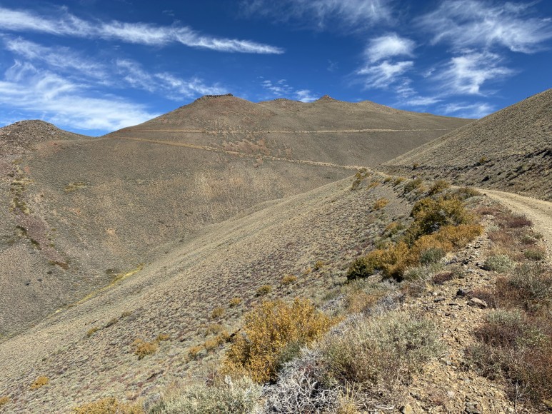
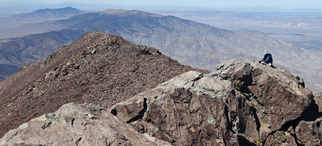
Speaking of a challenge, for the first five miles or so I kept my eye on the only person ahead of me, who I was pretty sure was the "leader". Nohemi eventually passed me at the second food station and then I kept my eye on both of them for a while until losing them. Later, when I reached the big bend where you can finally see the summit (pictured above), I couldn't tell who anyone was because we'd caught up to the tail of the "half-way" group who started earlier and higher.
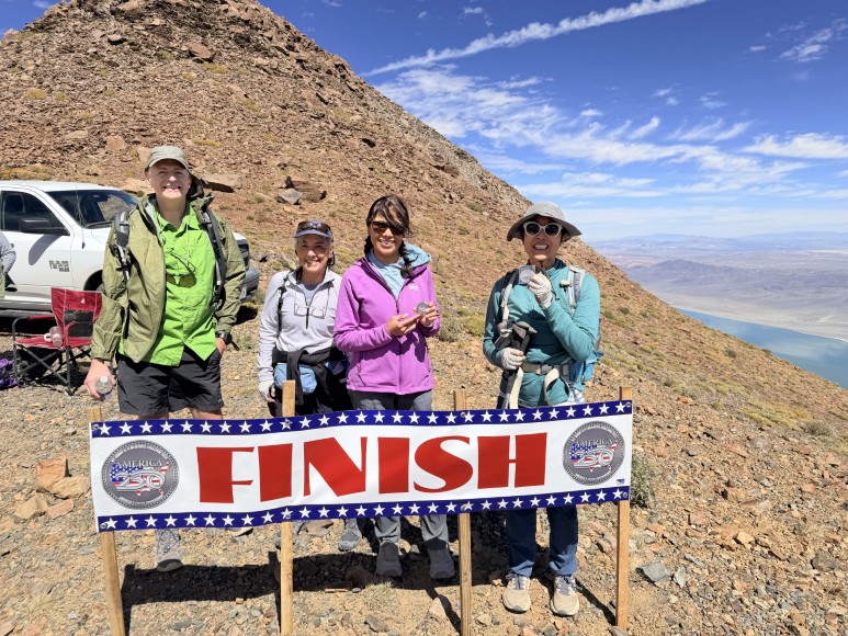
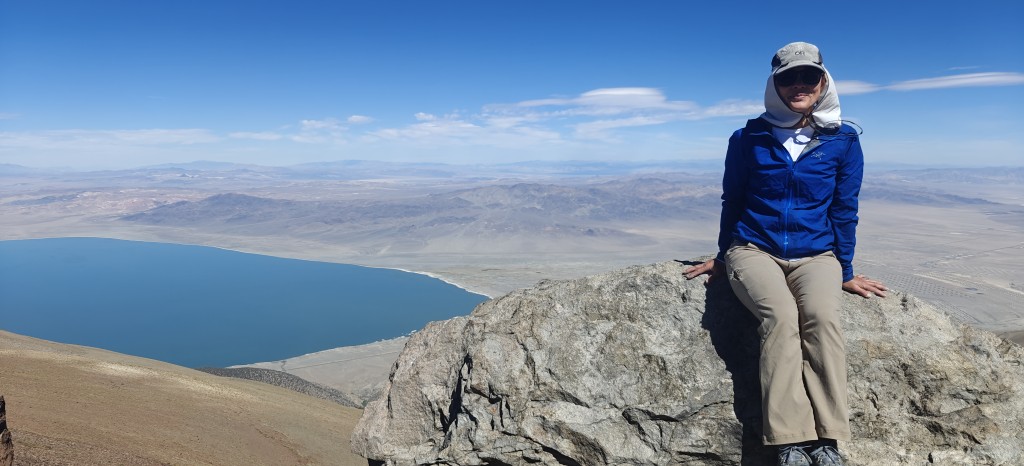
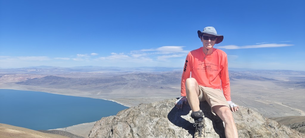
There's a nice feeling in having some people to pass after an hour of hiking alone. When I "crossed the finish line", I learned from Nohemi that she'd passed the front-runner, but then the front-runner passed her near the end. I had no idea they were duking it out. Exciting! After sitting around for a short time, Crystal appeared and we eventually headed up to the true summit. I declared reaching the summit mandatory for anyone who had made an effort to go fast.
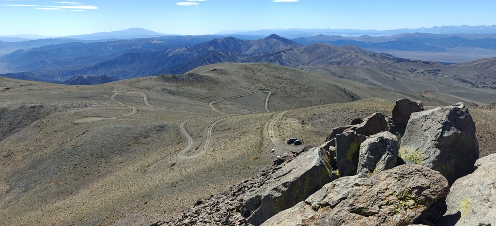
Sabine appeared but, since she was driving back to South Lake Tahoe the same day, she took the first truck down. Everyone else waited around and eventually Jeff took a group to the summit. Or at least toward the summit, but that's another story.
I eventually went over to try to help and also show Jeff where the trail to the benchmark (where I'd gone instead of the summit on our last visit) roughly was. I ended up going to the summit a second time where I saw Jeff make it to the benchmark.
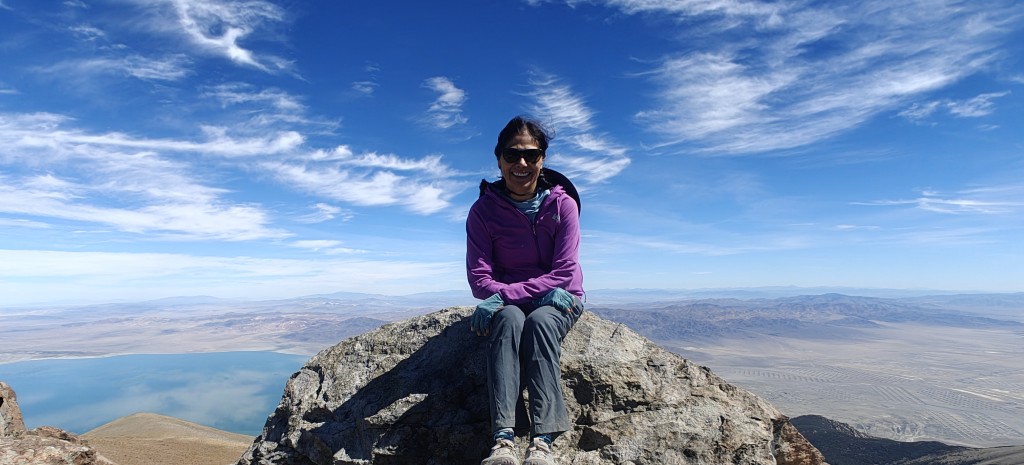
On the ride back to the trailhead, we learned that they planned to continue having this event in the years to come. The real kicker was talk of having a keg at the summit next year.
Much like the prior year, we had an idea where we wanted to eat, but changed it, and then had all sorts of debate about it. Fortunately, we all ended up at the Pizza Place this time and it wasn't swamped with orders, so things went much faster, although we had an enormous surplus of pizza among us at the end.
Milestones:
Highest point in Mineral, NV county
Pages maintained by Steve Walstra
©2026