
| Main Page | Diary | Leaves | Stats |

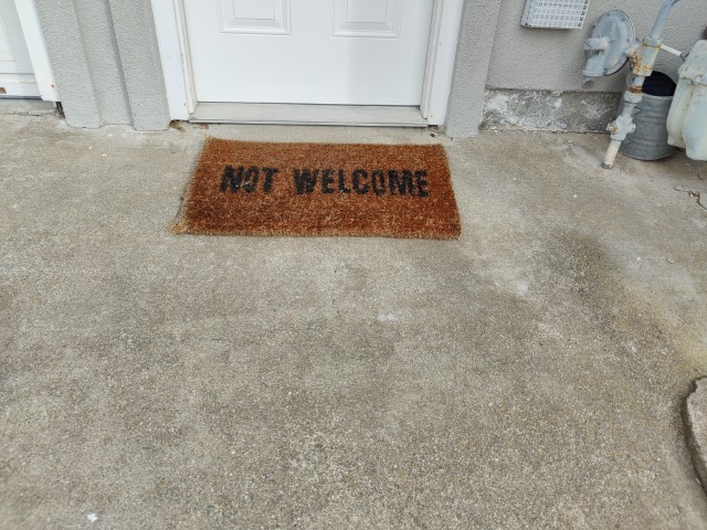
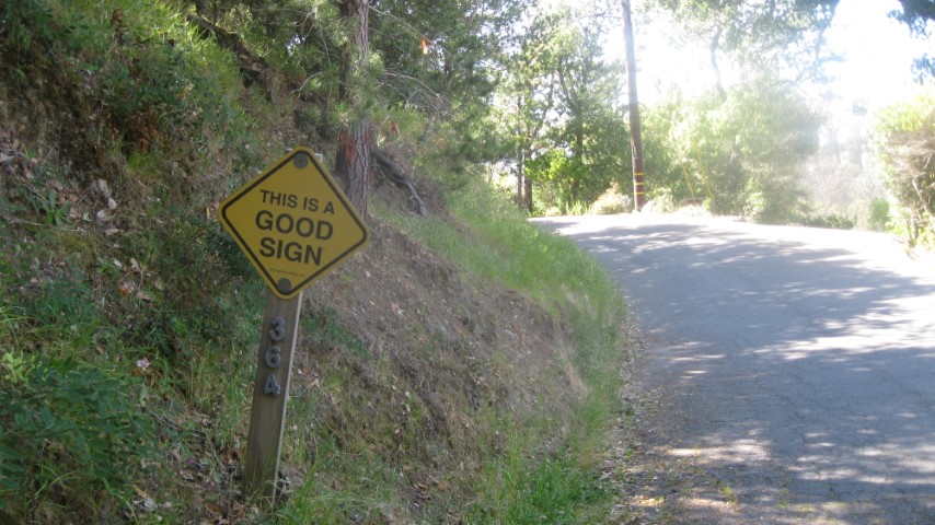
1270. Bad Sign (10/23/21)
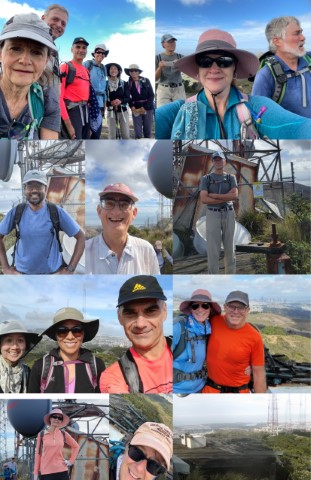
Hikers (17): Arlene, Crystal, Dan, David A, Hong, Kathryn, Kevin, Mihail, Nagendra, Nohemi, Peter E, Peter M, Qi, Sandy F, Sophie, Stacy, Steve
Distance: 12 miles
Rating: 3 difficulty, 8 beauty
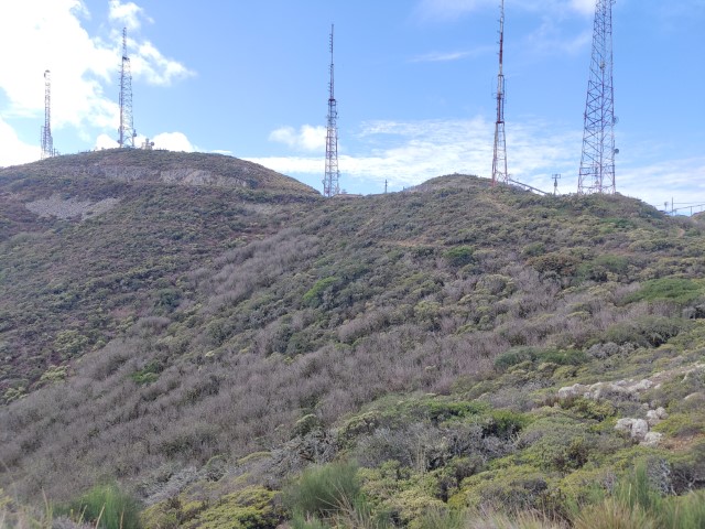
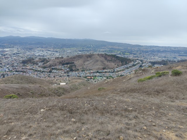
Park info: San Bruno Mountain State & County Park near Brisbane
Write-up by Steve -- Pictures by Everyone
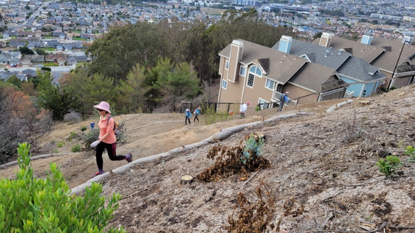
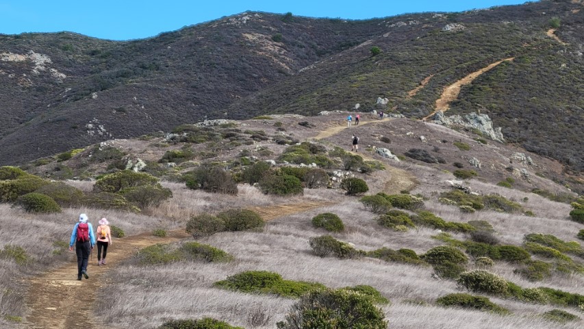
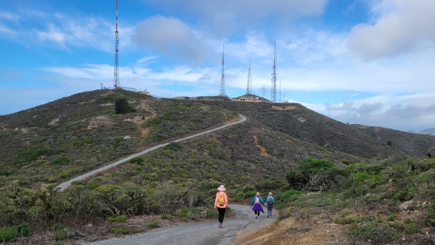
3200 ft of elevation gain spread out into four bite-sized sections.
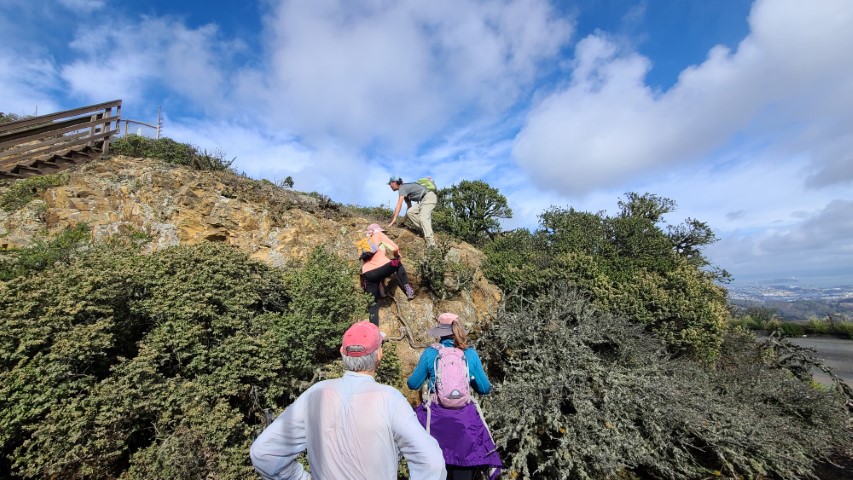
Sandy F gets a fat  for missing the summit. That being said, I've been there many times and looked twice for an alternate route before committing to the short climb up. The second group had the "benefit" of us taunting them as we descended.
More than one person (OK, two) commented that all the big houses had no evidence of people living in them. Didn't notice this because I was counting all the bridges.
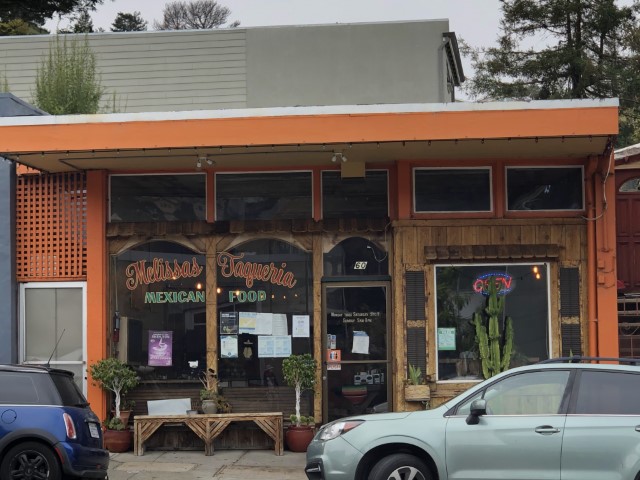
Several of us enjoyed a sit-down lunch at Melissa's Taqueria in Brisbane at the half-way point (elevation-wise).
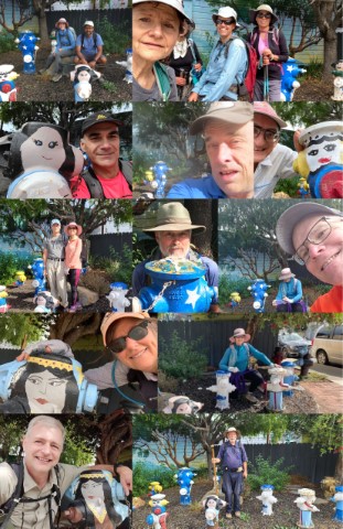
Story within a story: after posting this write-up, the last remnants of Hayward Hiking Club decided to follow our track and do the same hike, complete with pictures at the Plug Preserve. They also provided a picture of where we ate lunch.
On the way out of DT Brisbane, I noticed an older gentleman in full display in his upstairs casement window looking down upon the world. This being the cheaper district, I thought. . .will that be me in 30 years? Hell no. I'd be on the patio saying "Get off my lawn!" and shooting a lasers 'cause its 2051! Pew pew!
On the way back down Sign Hill, tried to take every single switchback. The resulting GPS track looks more like a ski run than a hike. Most people just go straight down the middle. I tried to convince Mihail, but after two short switchbacks he lost patience. I thought it was sort of fun, although more useful on the way up than the way down.
Milestones:
Crystal's 30th leaf
![]()
![]()
Pages maintained by Steve Walstra,
Peter Saviz, and
Russell Gee.
©2026 Intrepid Northern California Hikers