
| Main Page | Diary | Leaves | Stats |

405. Loma Prieta (07/24/04)
Hikers (8): Clive, David, Oliver, Ross, Russ, Steve, Walter, Wennie
Distance: 12 miles
Rating: 3 difficulty, 9 beauty
Park info: Uvas Canyon County Park near Uvas
Write-up by Steve
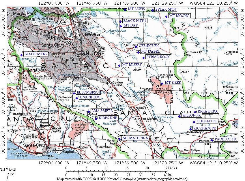
After Sparky sent me a list of the highest named peaks in Santa Clara county [look here] , I wanted to plan a hike to Loma Prieta. There is no trail to the top, but there is access via a private road. An easy approach would be from the north side of Soquel Demonstration Forest off Summit Drive. But easy isn't our style. Instead, I planned a hike from Uvas County Park to the peak, for 3100 ft of heavy-panting hiking.
1-2-3 INCH!
We made good time from the trailhead to the edge of the park (just uphill from Nibbs Knob), which is by far the most difficult part of the hike. Although only in the mid-80s, it felt terribly hot out there on the steep uncovered trails. After resting at the gate (and getting our first view of Loma Prieta in the distance), we took a right onto Mt. Madonna Rd. After rounding the first hill, we were greeted with. . .sea breezes. The view from the route was great, with the entire Monterey Bay visible far below.
We encountered a few cars along the route, but otherwise we just continued getting closer to towered-filled Loma Prieta. Near the peak, we reached a junction with three roads. I had read previously to take the middle route. The rightmost route clearly went down. Ross scouted out the leftmost route while we were waiting and determined that it was no good. So when everyone arrived, we took the middle route--and it was, indeed, the correct way to go (for a change).
Long story short, we reached one set of towers, but discovered that we weren't at the main cluster (and highest ground). This required a little prickly bush whacking and fence skirting, but we eventually set foot on the flat top. We found a concrete slab to sit on and enjoy lunch.
Everyone enjoyed the hike differently: Wennie and Walter liked the views on the way up, Oliver was loving the antenna farm, and I was happy to cross Loma Prieta off the list of high points. Russ, on the other hand, moaned that it was a "pointless" hike. How it differs from any other peak hike (Mission, Sizer, Diablo) is left as a problem for the reader.
On the way back we hit Nibbs Knob, which was a cake walk when approached from the "rear". From there, it was two miles of steep downhill hiking. At the cars, we had two coolers filled with drinks. A hot hike followed by cool beverages--it doesn't get any better than that.
Epilogue
David found a note on his windshield:
Turns out Clive did hike to Nibbs Knobs (rather than 10 miles of shaded waterfall trails), so we'll give him a leaf, particularly since most of us missed the Bernal exit, too.
Milestones:
Ross's 30th leaf
![]()
![]()
Pages maintained by Steve Walstra,
Peter Saviz, and
Russell Gee.
©2026 Intrepid Northern California Hikers