
| Main Page | Diary | Leaves | Stats |

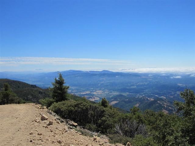
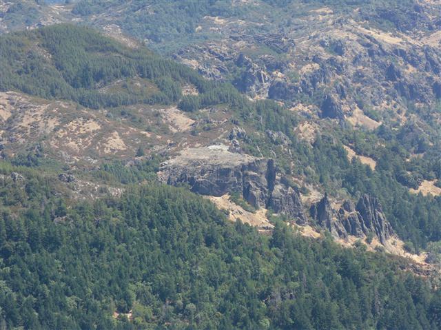
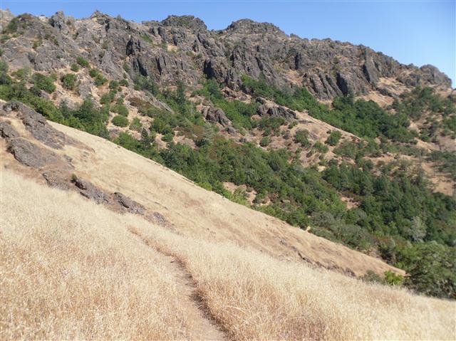
740. Mt. St. Helena via The Palisades (08/21/10)
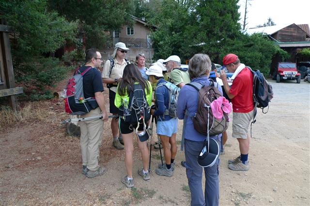
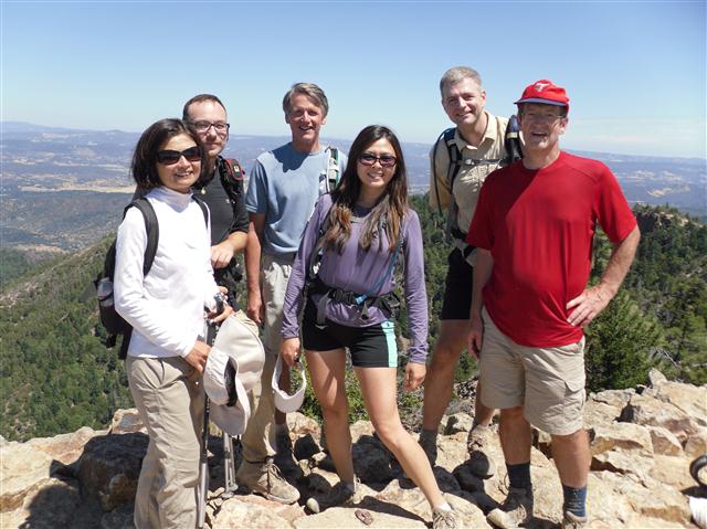
Hikers (10): Chinyet, David, Diane, Karl, Robert, Ross, Sarah, Shuli, Steve, Tiffany
Distance: 31 miles
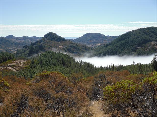
Rating: 6 difficulty, 10 beauty
Park info: Robert Louis Stevenson State Park near Calistoga
Steve owes a writeup! -- Pictures by Karl, Steve and Robert
Check out all of Robert's pictures.
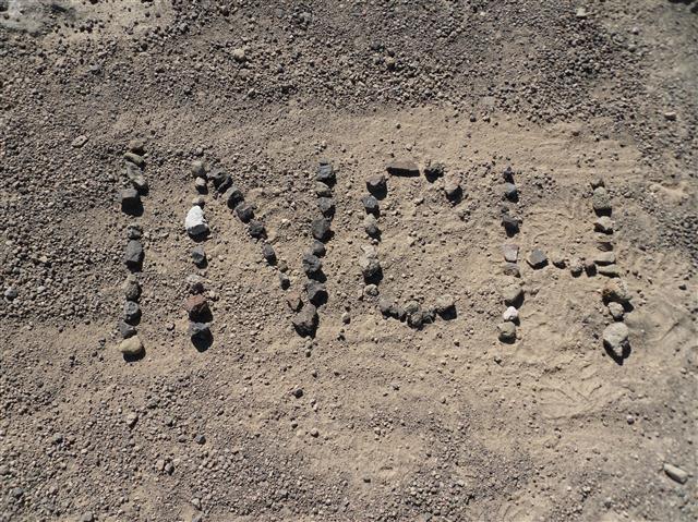
I'm rating it a six for high blister count, everyone getting lost on rough terrain at least once, and almost killing George. Oh, at it was 7k+ ft and 31 miles, too. On the plus side, the high temperature in this famously hot area was only 78 F on the day of the hike. It was 7 degrees hotter the day before and 6 the day after. Mother Nature smiles on INCH.

Milestones:
Highest point in Napa county
Shuli's 10th leaf
![]()
![]()
Pages maintained by Steve Walstra,
Peter Saviz, and
Russell Gee.
©2026 Intrepid Northern California Hikers