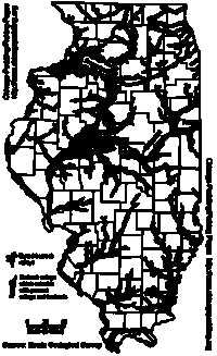
Vermilion River
(LaSalle, Livingston, and Ford Counties, Illinois, U.S.A.)
|
We are not responsible for errors or omissions.
When boating, regardless of water depth, wear a PFD!
|
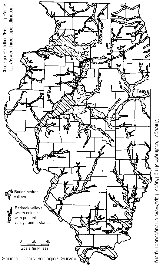
Two old rivers with a new twist. Not that long ago the Vermilion
River didn't link to the Illinois River near Starved Rock, the small
Tonica river did. While the Illinois River has kept its general direction for
centuries, a great river existed to the south of the Illinois River
crossing east to west, the Mahomet-Teays River. It is to this river,
that the Lower Vermilion once flowed (the flatwater sections south of
Streator are part of this river system). The Mahomet-Teays River was
buried and filled with loose rock by a southward pushing glacier and
now ceases to exist as an above ground stream (it still exists as an
underground river and is the Aquifer that many towns such as Champaign-Urbana
draw water from). Only the small Tonica River (about 10-15 miles long)
entered the Illinois River near Starved Rock.
Of course, even if you bury a river, the water sources are still there.
With nowhere else to flow, the springs that had flowed into the ancient
river began seeking a new channel, and over time it created a new link
on the newly deposited Glacial Drift about 15 miles long between the
Streator area and Lowell sending their flows into the smaller stream
and to the Illinois River.
June 96 A rafter died at the Marquette Cement Dam. This dam has
what is referred to as a "runnable chute", but it's really just a section of
the dam that was blasted with dynamite by the IEPA to create a way for fish
to travel upstream. When you do find the chute at low water levels, beware
of rebar and other debris.
| Kayakers and Canoeists, this area is for experienced whitewater boaters
|
| If you've never been here, rent a raft and explore it.
The rafting company offers guided beginner trips as well as unguided
trips so you can see what your getting into within the safety of a group.
|
If you've never been here, rent a raft and explore it. Don't attempt
to run this by yourself, there have been fatalities here.
The only true whitewater in northern Illinois, the Vermilion River
runs just west of Starved Rock State Park. This river is a Class II River
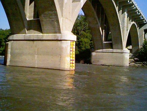
with one Class III Rapid (Wildcat Rapids). The gauge for this river is
located on a bridge pillar at the Lowell Bridge. If the gauge reads 4'
or above, the run should only be attempted by experienced boaters. At 7'
on the gauge, the river is in flood and should only be attempted by
expert paddlers.. Wildcat Rapids (class III) can be recognized by huge
boulders on river right just after the river bends right - several
miles into the trip. Scout this drop from river left if you are a
first-timer. Beware of the Marquette Cement Company dam a mile or so
below Wildcat Rapids. There is a warning sign suspended above the
river before the dam.
The cement company allows portages on river left - takeout above the
warning sign and use the road through their property. A more difficult
but shorter portage can be made on river right just before the drop.
A runnable chute is on the far right, but beware of the side culer at
the bottom of the chute and watch for rebar at lower levels below the
dam.
The run becomes more difficult at lower water levels.
DO NOT MISS THE CHUTE AND RUN THE DAM!
|
Boating information:
Other Information:
- Camping available at Starved Rock State Park
The road to the launch area
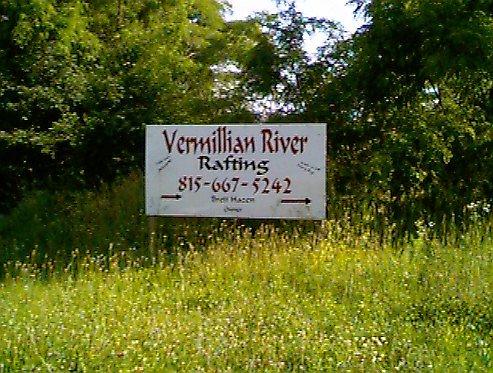
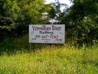
(Remember, the river's name is really
spelled Vermilion, NOT as the sign implies)

The Gauge on the Lowell Bridge (referred to in the above text)
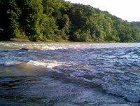
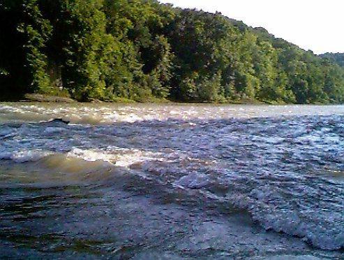
The Lowell Bridge rapids (one of the smaller rapids on the river)