
| Main Page | Diary | Leaves | Stats |

730. Pacheco Falls (06/19/10)
Hikers (8): Chinyet, Diane, Jeff, Kirk, Ross, Sarah, Steve, Yongbin
Distance: 26 miles
Rating: 5 difficulty, 8 beauty
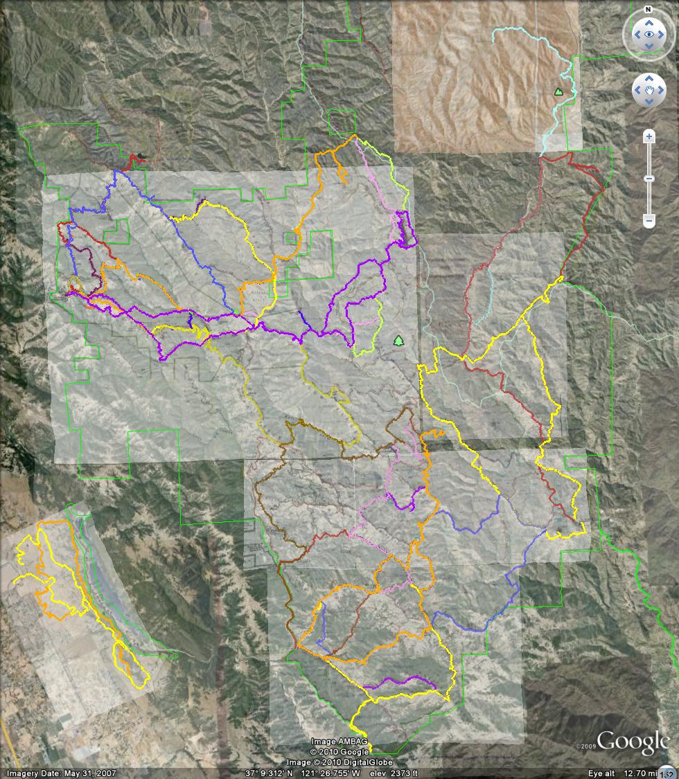
Park info: Henry Coe State Park east of Morgan Hill
Write-up by Steve
Pictures from Yongbin.
Once you've hiked Henry Coe a few dozen times times, you start looking for new things to explore. Last year, we headed east from Hunting Hollow almost all the way to Dowdy Ranch, primarily to visit new areas, as well as "connect" the hikes we did from Dowdy with the hikes we had done from Hunting Hollow. We did something similar this week, connecting the hikes starting from the main HQ with those starting from Hunting Hollow (thanks to three miles of overlap from hike #688). I've been collecting the routes we've done for the last three years, so it's easy to spot the gaps where we have not been.
When starting from Hunting Hollow (or Coyote Creek), the tendency is to hike NE toward the center of the park. This time, we went farther north before cutting back east, allowing us to visit several new (to INCH) areas of the park. Adding up all the map mileage suggested it would be around 28 miles, but it only turned out to be 26 miles. That was too bad, because the weather was nice and cool (for June), so it would was perfect for attempting our longest Coe hike.
Seven people met at the Hunting Hollow parking lot. As I was stowing my cell phone, I noticed a missed call from Jeff. I figured he might be coming, so left a map behind. Had plenty of maps since two people canceled. . .not to mention that Eric L had forgotten to pick his up.
1-2-3 INCH
We had a fast group, and knocked out the first two flat miles in no time. Most bikers and hikers opt to continue down the flat Coyote Creek road. INCH, on the other hand, headed up Grizzly Gulch trail to pick up the little used Cullen Trail. While it was somewhat overgrown, the trail was easy to follow. Once it intersected with Anza Trail (where the bikers presumably come up from the road), the trail improved dramatically. We kept heading north until reaching Grapevine Trail, which goes east toward Mahoney Ridge. I liked this area of Coe--lots of volcanic domes (like Ohlone's Goat Rock), plus a general abundance of big boulders, something fairly rare among the eroded mountains of the extended Bay Area.
We turned onto Cross Canyon Trail before reaching the ridge and went up and over Mahoney Ridge, down into Kelly Cabin Canyon, and then up to Willow Ridge. The map shows two junctions along the canyon to look out for, but they were both unmarked. The first is George Milias trail. I had the coordinates for it, and still didn't see any signs, although recognized the area from our visit there last year. It was not signed at the top then either--no love for George Milias. The second junction is for Kelly Cabin Trail, but long story short, we never saw that one, and ended up right where we wanted to be simply by putting one foot in front of the other.
After passing an unusually picturesque Coit Lake, we (individually) ended up at the T-junction. To the left is Coit Ridge Trail; to the right is the continuation of Coit Dam Trail. The junction is unsigned. I didn't notice the junction at all, and continued right. Turned around after a quarter mile because it was clear I was going along the lake, which was contrary to the map. The correct trail was quite overgrown at the start (despite the fact that Ross had already been there), so I left an arrow. For future reference, there is a rusty pole stuck in the ground next to a tree at this T-intersection. The better thing to remember is that the 0.1 mile route long the dam is straight as an arrow, so if you are turning, you're at the intersection.
Coit Ridge Trail is not used much and, while easy to follow, was overgrown and quite steep (downhill) at times. After a while I got that sick feeling of "I hope this isn't a deer trail." Eventually, though, it ended at a signed junction with White Tank trail. And guess what is there? A big, rusty, overturned, formally-white tank. Was happy to see it. From there, it was a climb back up to Live Oak to access the Pacheco Falls Trail.
By this time, I had guessed that most people had missed the correct trail and taken the "road more traveled". Looking at the topo map, the two obvious routes avoid between 300-600 ft of elevation loss (and gain). Slackers! After replacing a geocache near Pacheco Falls with a new ammo box, I ran into Sarah, Kirk, Yongbin, and (later) Eric L coming up from the falls. Yongbin knew they had taken the wrong route, but the others played it dumb. No one could answer the mystery question "What did you see when you reached the junction with White Tank trail?". Only Ross and Diane answered the question correctly--good job, guys!
Back at the top of the falls (which, as always, is better than the bottom of the falls), everyone was enjoying lunch, including Jeff. He had shown up late, gotten my map, forgotten the hike notice said which direction we were hiking the loop, went the wrong way, somehow figured this out, came back, got a ride from the Pine Ridge Association president to Anza Trail, and hiked ahead of us for most of the way (Ross caught him at falls). Well, for that he gets a  , but since he did most of the elevation, we'll count the hike. Show up on time!
The way back from the falls was not as remarkable as the way there, mostly because we've been in those sections of the park so many times. I managed to lose my map somewhere after Pacheco Falls, but caught up to Sarah, Kirk, and Yongbin, so could take a look at their maps (Jeff found my map, so no littering was done!). The hike up to Willson Peak seemed to take much longer than usual. One noticeable difference this year was the grass(es), which seemed unusually high. The use trail to Willson Peak summit was gone, resulting in several smaller trails beaten through the dry grass toward the summit. The peak clearing was also much smaller due to the encroaching grass.
From Willson Peak, it was 2.0 miles of miserable downhill along Middle Steer to Hunting Hollow. They've started (?) switchbacking the very bottom of the trail, but the vast majority of it goes straight down the ridgeline. 0.8 miles (and a few creek crossings) later, we were back to the parking lot. Ross had brought some beer, which hit the spot. Thanks! Good ending to a good day of Coe hiking.
Milestones:
Jeff's 110th leaf
![]()
![]()
Pages maintained by Steve Walstra,
Peter Saviz, and
Russell Gee.
©2026 Intrepid Northern California Hikers