
| Main Page | Diary | Leaves | Stats |

1299. Skyline National Recreation Trail Alternative (05/21/22)
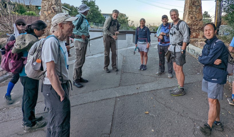
Hikers (16): Bjorn, Chinyet, Christina, Dan L, David A, George, Hong, Jarda, Lina, Manfred, Mihail, Nohemi, Qi, Sarbinder, Steve, Susan S
Distance: 33 miles
Rating: 5 difficulty, 9 beauty
Park info: East Bay Regional Parks near Richmond
Write-up by Steve and Dan L -- Pictures by Everyone
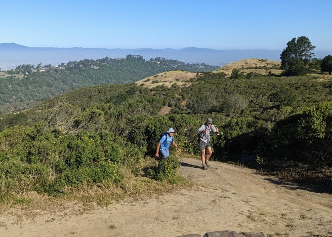
Weather was not too hot resulting in a very reasonable hike considering the distance and elevation gain.
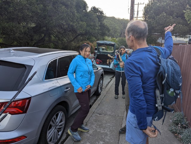
Big thanks to Iris, Bjorn's son Gustav, David A, and George's mega-Lyft for the early-morning shuttle to the start of the hike. Everyone was on time (except the Lyft driver). See Dan L's write-up below the pictures!
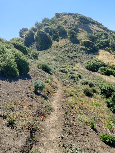
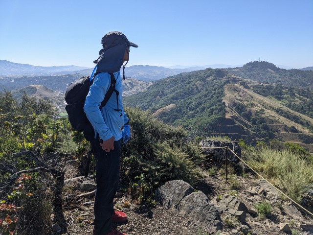
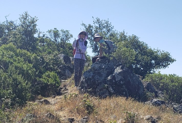
Still need to assemble all the peak pix, but here are the general pictures.
| INCHer | Wildcat Peak | Barberry Peak | Redwood Peak |
|---|---|---|---|
| Dan L | X | X | X |
| David A | X | X | X |
| Hong | X | X | X |
| Lina | X | X | X |
| Chinyet | X | X | X |
| Sarbinder | X | X | X |
| Mihail | X | X | X |
| Jarda | X | X | X |
| Arush | X | X | |
| Nohemi | X | X | X |
| Bjorn | X | X | X |
| Qi | X | X | X |
| Susan S | X | X | X |
| Manfred | X | X | X |
| Christina | X | X | X |
| George | X | X | X |
| Steve | X | X | X |
Dan L's take on the hike:
The days of INCH are numbered. Tomorrow in Huddart Park near Woodside, INCH 1300, is the very last INCH hike. Over 80 people, including yours truly have signed up for it.
The hike will be relatively short at 8.5 miles and around 1,500 ft of gain. As INCH hikes go, it’s a 2 out of 5. Truth be told, the hike is almost incidental. Tomorrow is really about the one last after hike party, isn’t it?
Some would say it’s the end of an era in Bay Area hiking. Call it what you want; after 26 years of leading hikes, the 3 INCH hike leaders are going on in search of the perfect trail. Happy Trails to all of them, as they find a way to live on without the INCH cheer.
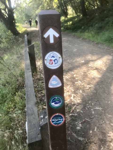
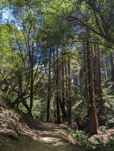
Last Saturday, Steve hosted INCH 1299, the penultimate INCH hike on a slightly alternative version of the Skyline National Recreation Trail between Richmond and Castro Valley.
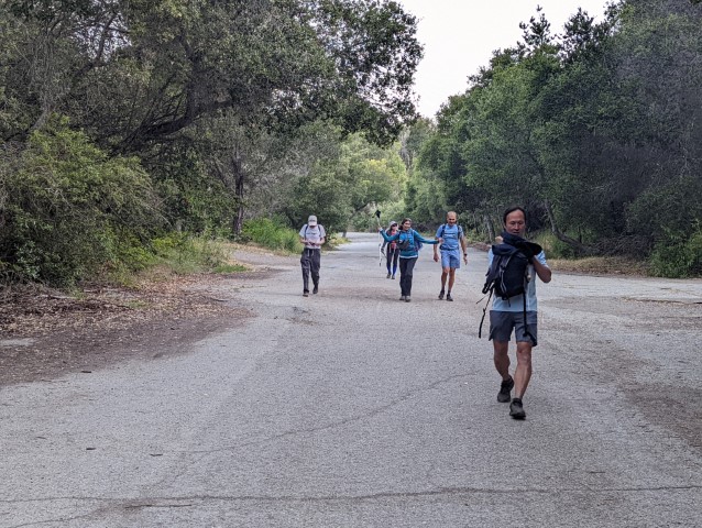
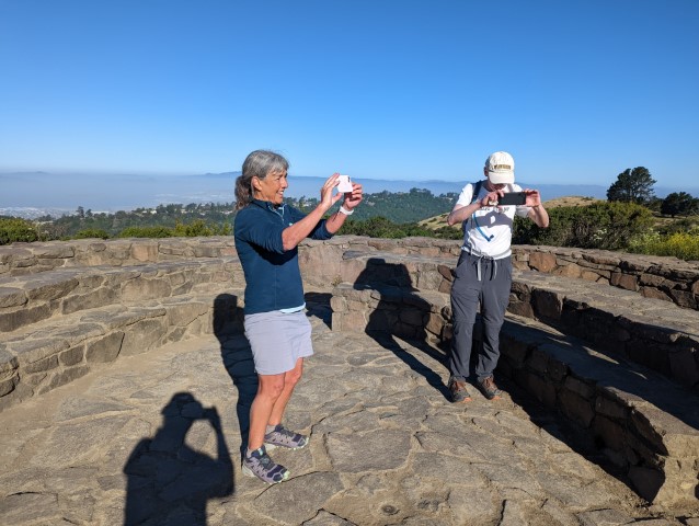
We met at 6:55 in Castro Valley at the Proctor Staging Area, shuttled over to Richmond, did the INCH cheer in unison, and began the climb up the Wildcat Peak Trail, onto Harvey Canyon Trail, to the Nimitz Trail, and continued the climb to snap the first requisite photo, proof that we had reached Wildcat Peak.
If you expect me to tell you it was all downhill from there, you don’t know Steve. It’s all about the elevation gain with Steve. That and miles.
From Wildcat Peak, we continued, climbing up to Tilden Park and after close to 9 miles crossed Wildcat Canyon Road for more climbing up the Seaview Trail, branching onto the Arroyo and Vollmer Peak Trails to Seaview Drive.
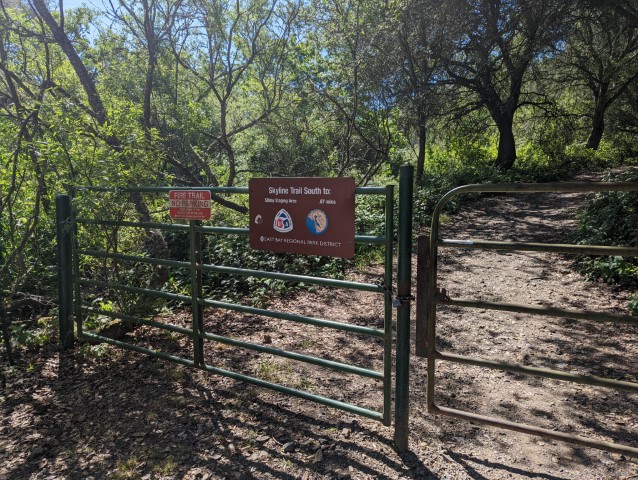
From there, it was mostly downhill onto the Skyline Trail, with a diversion up to Barberry Peak for the second requisite photo, then back onto the Skyline trail for a descent to Hwy 24.
I was hoping to get a picture peering out over some ledge to Hwy 24 but as I was crossing the Hwy, I could hear cars but couldn’t see the Hwy for the forest. I could see the forest AND the trees though.
As I was crossing the Hwy, another uphill climb began, this one to a popular parking spot off of Skyline Blvd, at about 16 miles in, a mile from the halfway point. Once I’d watered up there, the Overlook Trail awaited, then the Roundtop Loop Trail. From there, it was back on to the Skyline Trail, where I continued my experience of life’s ups and downs in miniature, over it and the Lower Huckleberry Loop Trail.
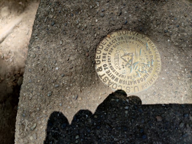
After crossing Pinehurst Road and heading onto the the West Ridge Trail, it was uphill to the Tres Sendas Trail where a steep descent began until another good steep climb up the French and Redwood Peak Trails to Redwood Peak where I snapped the 3rd requisite photo.
At that point, I had the three photos required for an INCH leaf, and could have found a way to take a Lyft back to the car and beat the pack, leaving them to wonder how I made it so fast. If Steve never found out, I would have gained an INCH leaf after doing only 21 miles. There’s no honor in that, so I pressed on. Besides, it’s all about the mileage and elevation gain. Right?
Continuing down the Redwood Peak Trail, it was back onto the West Ridge Trail for a nice downhill hike to Redwood Road for the last big uphill climb of the day, up the McDonald Trail, followed by a downhill hike to the Grass Valley Trail, then unto the the Brandon Trail for a lesser climb up to Marciel Road. It should have been all downhill from there; in fact it was but for one point. I had run out of water a mile from the road. I soldiered on but I paid in the end.
When I finally got to the Porter Staging Area where we’d parked in the morning, once I sat down, my calves and hamstrings cramped like they were made for cramping. Even my right bicep cramped!
As I sat on a wooden slat of a bench, I felt as if I was in a near catatonic stupor, constantly readjusting how I sat to avoid the pain of muscles seizing up. I should have filled up my water bladder that one last time when I had the chance! I wasn't much in the mood for beer at that point.
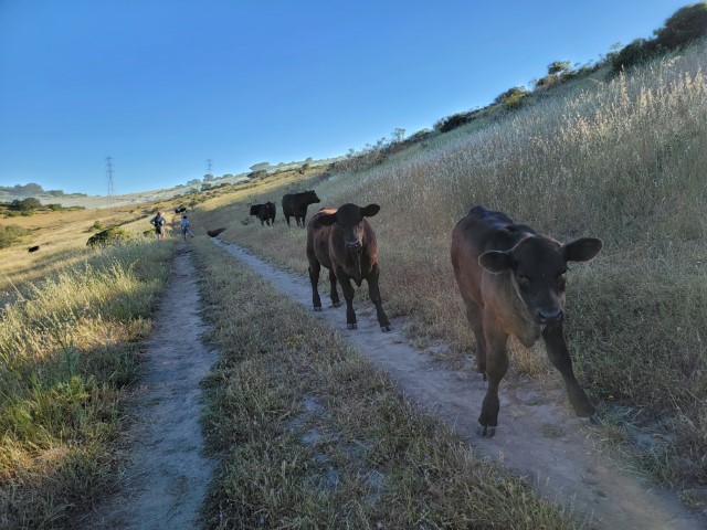
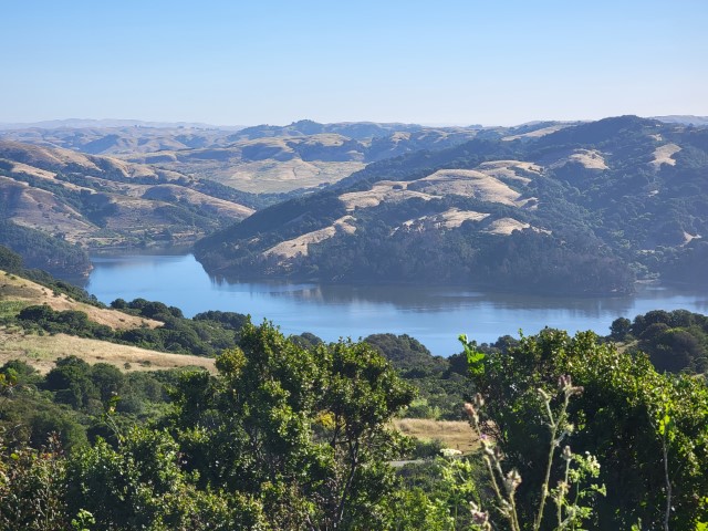
All told, we hiked through Wildcat Canyon, Tilden, Sibley, Huckleberry, Redwood, and Anthony Chabot parks in a 34 mile trek with over 5.8K of elevation gain.
For his last hurrah, Steve got his mileage and gain, we all got an INCH cheer and another memorable INCH hike.
![]()
![]()
Pages maintained by Steve Walstra,
Peter Saviz, and
Russell Gee.
©2026 Intrepid Northern California Hikers