
| Main Page | Diary | Leaves | Stats |

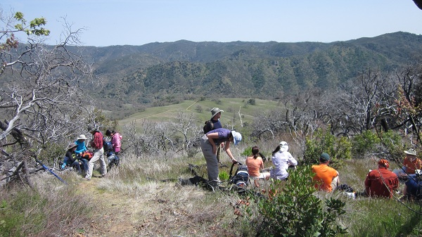
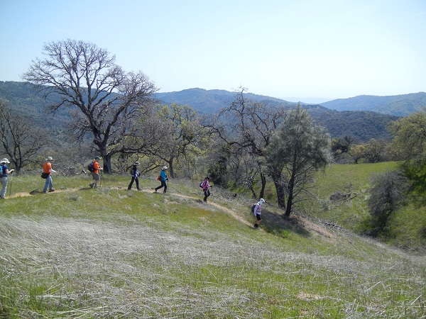
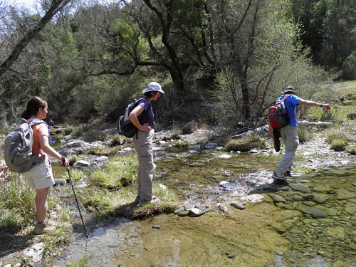
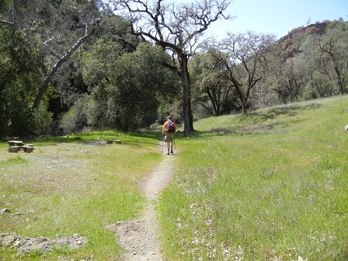
825. Mt. Sizer Loop (04/07/12)
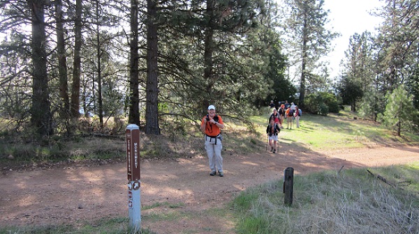
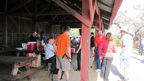
Hikers (38): Alan, Arlene, Bill R, Chen, Chinyet, Chris P, Colby, David, David A, George, Giulia, Holly P, Jeff, Karl, Kathryn, Keung, Kevin, Kirk, Le D, Linda L, Majda, Mike, Milon, Moe, Paul, Peter, Peter E, Ralph, Ross, Russell, Sarah, Shuli, Sophie, Steve, Susan, Trish, Wendy, Yipeng
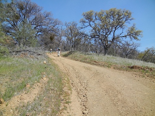
Distance: 16 miles
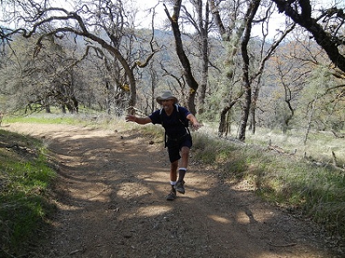
Rating: 4 difficulty, 8 beauty
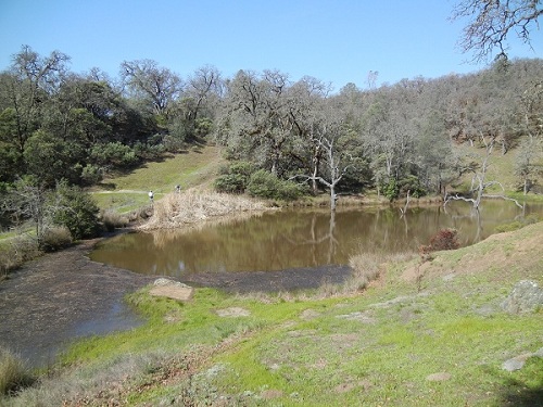
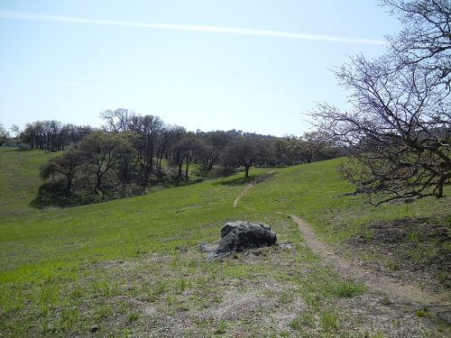
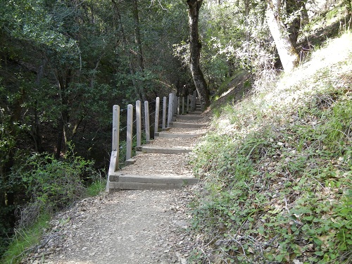
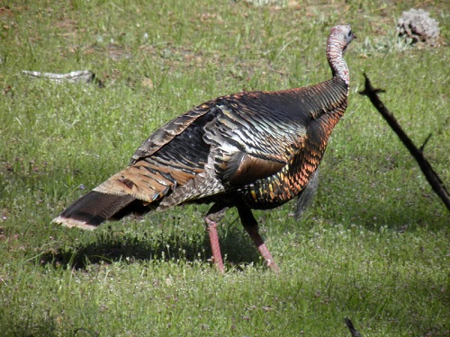
Park info: Henry Coe State Park east of Morgan Hill
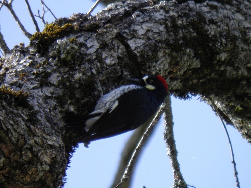
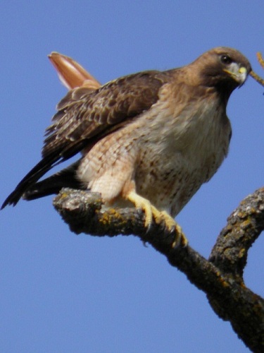
Write-up by Peter and Alan W -- Pictures by Karl (Curly), Keung (Larry), Moe, and George
OK, I cheated. I didn't really do a write-up, but Alan sent me a link to a write-up of an almost identical trail so he gets credit for it (check out the comment at the end -- I'm guessing Rage has read some of our write-ups, so turnabout is fair play). The main difference was that our route came up Middle Ridge on the way back from Poverty Flat, giving us a couple of extra miles and 500-600 feet more elevation gain, just to make it interesting. Enjoy!
Milestones:
Alan's 40th leaf
Chris P's 1st leaf
Colby's 1st leaf
Majda's 1st leaf
Steve's 660th leaf
Yipeng's 40th leaf
![]()
![]()
Pages maintained by Steve Walstra,
Peter Saviz, and
Russell Gee.
©2026 Intrepid Northern California Hikers