
| Main Page | Diary | Leaves | Stats |

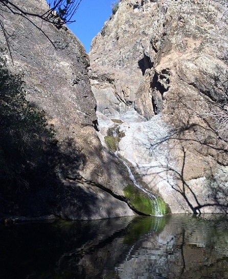
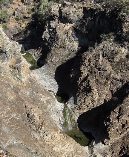
967. Pacheco Falls (01/31/15)
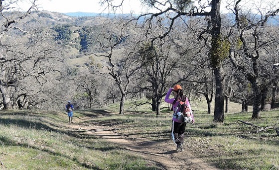
Hikers (20): Adam, Biz, Brad, Carissa, Chester, Hailong, Jim, Karl, Kathryn, Nick, Peter, Peter E, Robert, Russell, Sarah, Sarbinder, Sean W, Shuli, Steve, Tony
Distance: 21 miles
Rating: 5 difficulty, 9 beauty
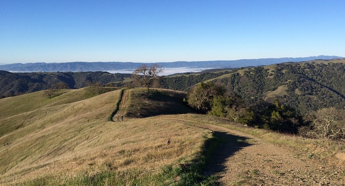
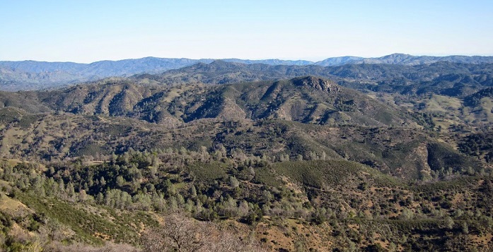
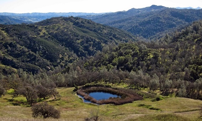
Park info: Henry Coe State Park east of Morgan Hill
Write-up by Peter, Adam, and PeterE -- Pictures by Biz, Karl, Sarbinder, and Tony
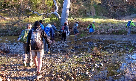
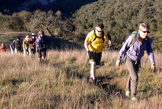
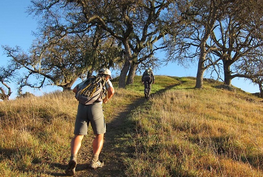
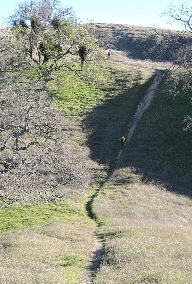
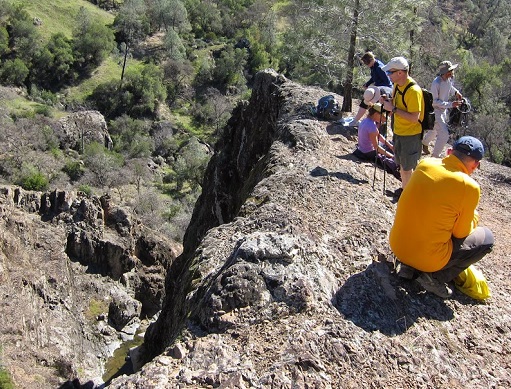
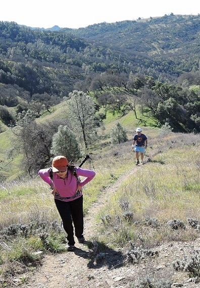
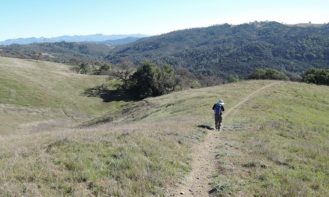
I was long overdue for a trip to Pacheco Falls -- it had been over 5 years since my last trip. The hike did not disappoint -- it was a gorgeous day with plenty of great scenery. Check out the pix below.
Adam's notes: I've been fighting a stomach flu since yesterday but decided to go for Pacheco Falls anyway. Don't know if you saw me roll in just as you did the INCH cheer, but I saw Nick H and Sarah at least. I made a wrong turn at Wasno and went almost to Kelly lake, then reversed to Wagon where I was obliged to stop and be sick, both of which mistakes eliminated any thought of catching the pack.
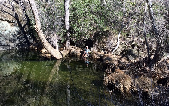
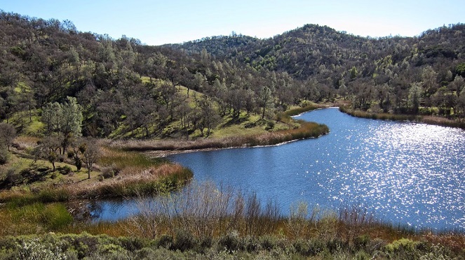
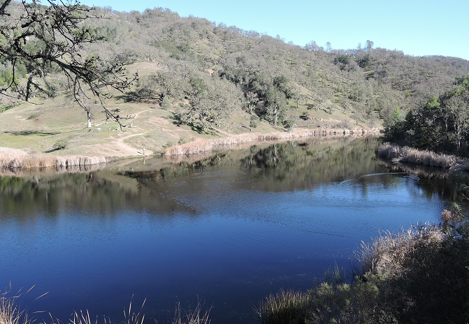
Near Crest Trail I met Sarah coming back the other way along Wagon Road ...she recommended this as having less elevation than the rest of the loop. Made it down to the falls around 1:15, was pleased to see some water, then decided to hang with the official return route.
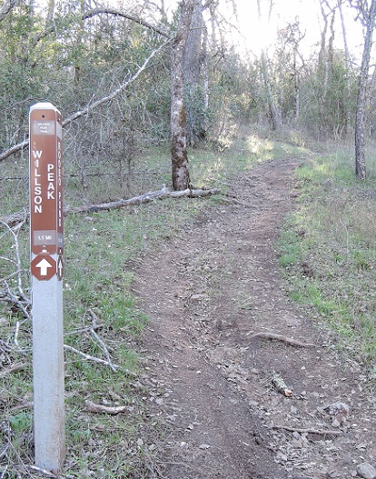
I couldn't find the "connector" despite much blundering near the pond, and ended up just taking Coit Road to Kelly Lake. Sun was setting as I passed Willson Peak, so I opted for Steer Ridge on the descent, which I think has better footing. Back to HH in the dark at 6:15 with no beer and no one to complain to :-)
Peter E's notes: After removing various GPS artifacts, bathroom stops, etc. my distance and elevation gain were 21.9 miles and 6180 feet. The differences between my route and the route marked on the map were:
Misc: Honorable mention to Kalyan who showed up for his first INCH hike, despite being told multiple times that the Steer Ridge is not a good place to begin your first hike. He lasted less than an hour before turning back. Big Henry was smiling :)
![]()
![]()
Pages maintained by Steve Walstra,
Peter Saviz, and
Russell Gee.
©2026 Intrepid Northern California Hikers