
| Main Page | Diary | Leaves | Stats |

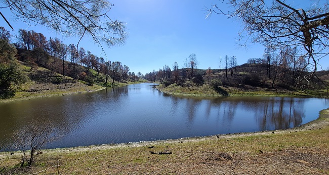
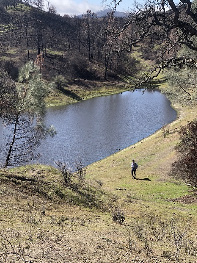
1242. Hoover Lake (03/13/21)
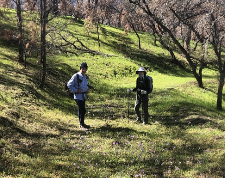
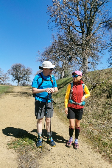
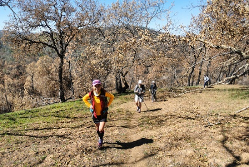
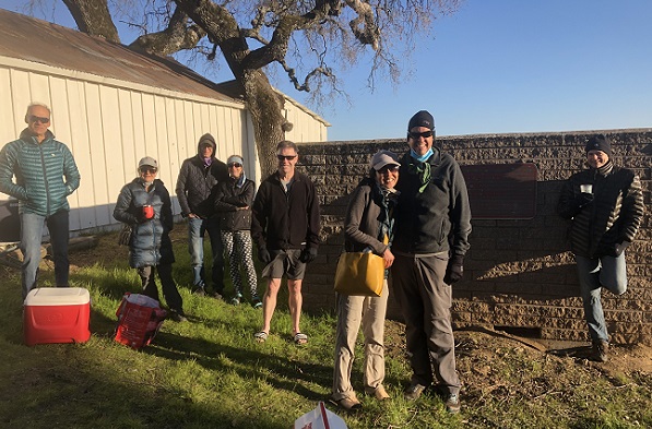
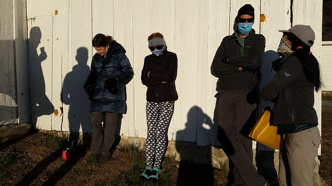
Hikers (16): Adam, Arlene, Christina, Crystal, David A, Dong, George, Giulia, Hong, Iris F, Jeff, Mihail, Peter, Rudi, Sophie, Steve
Distance: 23 miles
Rating: 5 difficulty, 8 beauty
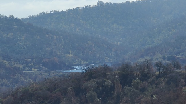
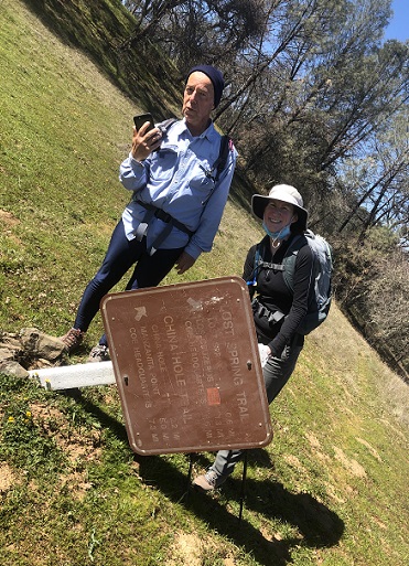
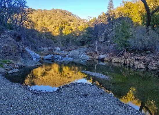
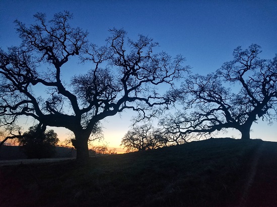
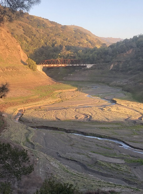
Park info: Henry Coe State Park east of Morgan Hill
Write-up by Peter -- Pictures by Adam, Dong, George, Mihail, and Milon
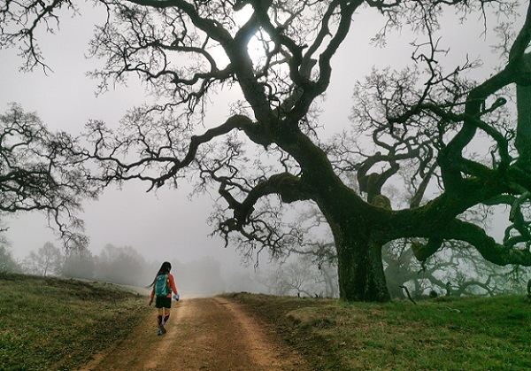
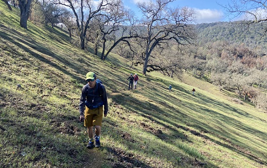
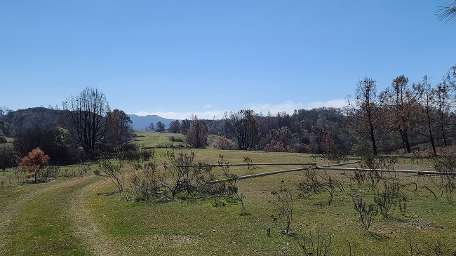
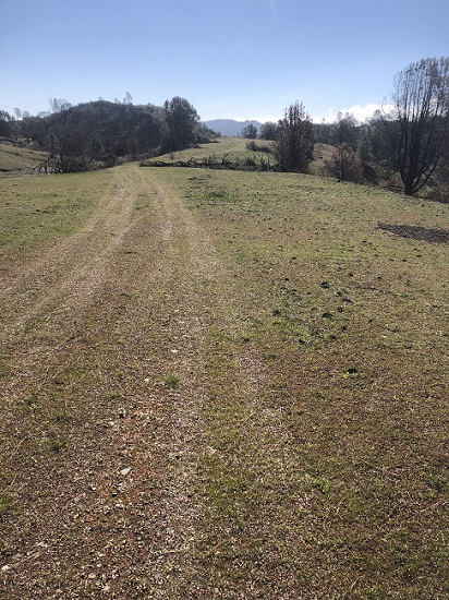
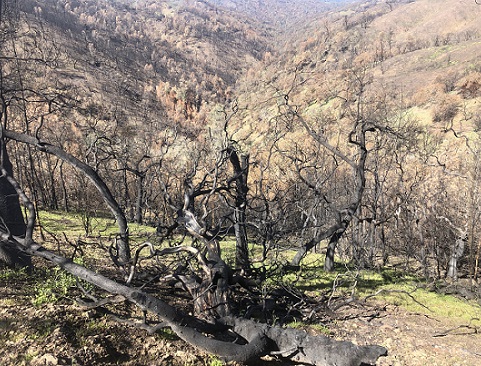
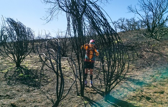
23+ miles, 5000+ feet on the day -- those are Rim2Rim stats, so I'm giving it a Level 5.
Short history of the landing strip, courtesy of Giulia: The Hoover Lake Airstrip was constructed in the spring of 1965 by landowner Frank Coit, a colorful fellow from Mendota, CA who made his fortune improving the vegetable production industry. His success in farming allowed him to buy 18,000 acres in the mountains for hunting and fishing. According to longtime Henry Coe State Park Volunteer Teddy Goodrich, Coit had the private runway created so that he could fly his plane in and out of the ranch. Coit brought friends and a few famous people to the ranch over the years. Unfortunately in December 1970, five years after constructing the airstrip, Coit died in a plane accident in Benicia. The strip was effectively closed in 1980 when the property became a State Park -- which, of course, didn't stop some people to still land and, at least once, crash there. The full version of the story with photos of the construction of the landing strip, presence in various maps, and some additional details can be found here.
(From Steve) Educational nugget from the above article: Remember the metal pipes making an "X" at either end of the airstrip? That designates the runway is closed.
Milestones:
Dong's 30th leaf
Iris F's 30th leaf
Jeff's 320th leaf
Mihail's 210th leaf
Steve's 970th leaf
![]()
![]()
Pages maintained by Steve Walstra,
Peter Saviz, and
Russell Gee.
©2026 Intrepid Northern California Hikers