
| Main Page | Diary | Leaves | Stats |

1288. Black and Green Curry (03/05/22)
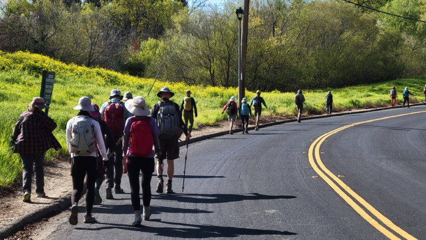
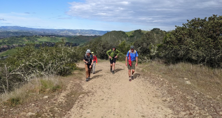
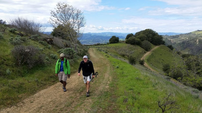
Hikers (31): Adam, Arlene, Arush, Chinyet, Chris P, Christina, Crystal, David A, Dong, Gela, Giulia, Hong, Iris F, Jarda, Jim, Kathryn, Kendra, Kevin, Manfred, Mihail, Mike He, Milon, Nagendra, Peter E, Qi, Sandy F, Shuli, Sophie, Steve, Susan S, Vicki
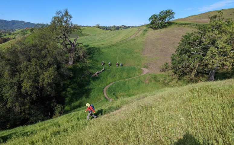
Distance: 16 miles
Rating: 3 difficulty, 9 beauty
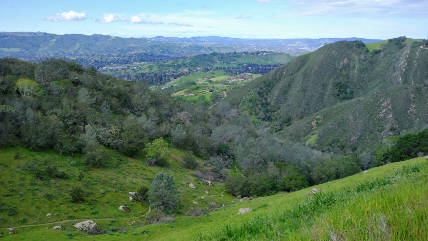
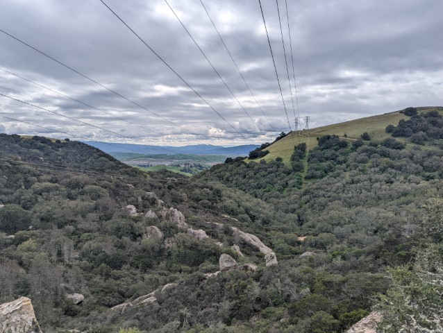
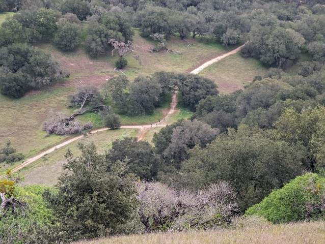
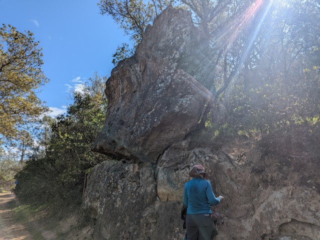
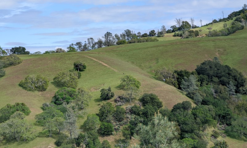
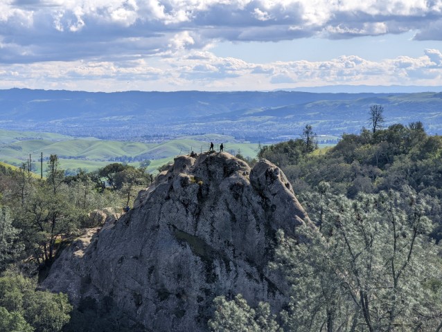
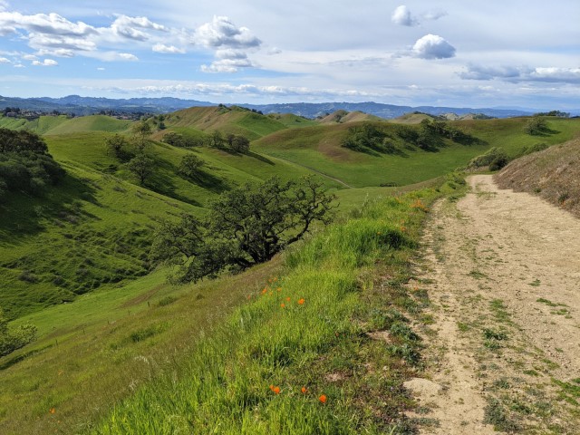
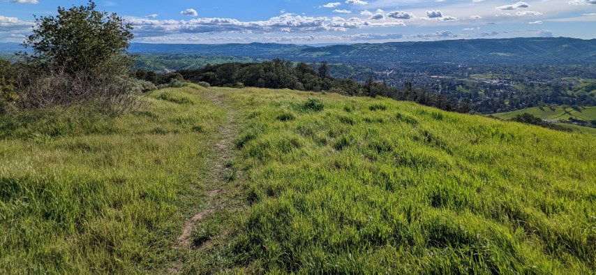
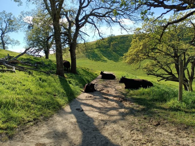
Park info: Mt. Diablo State Park near Alamo
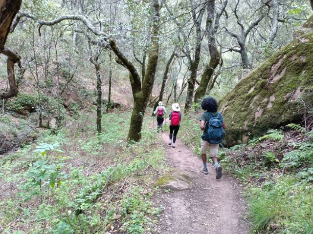
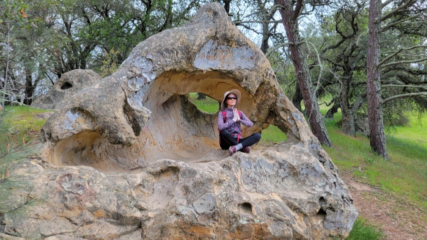
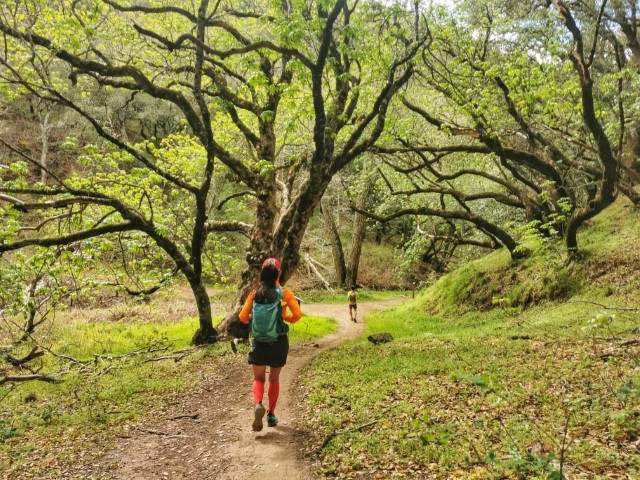
Steve owes a writeup! -- Pictures by Chinyet, Giulia, Qi, Jarda, Milon, Jim, Shuli, Dong and Sophie
Most INCHers did longer/harder versions of this hike, but the difficulty is based on the easiest allowed route. Looking at the 5 tracks I can access on Garmin Connect, the minimum was 19.5 miles with 4.4k ft of elevation. The max was 21 miles with 5.2k ft of elevation. That being said, the pure "nice" route was less mileage and elevation. . .so the hike is still a 3.

Milestones:
Gela's 40th leaf
![]()
![]()
Pages maintained by Steve Walstra,
Peter Saviz, and
Russell Gee.
©2026 Intrepid Northern California Hikers