
| Main Page | Diary | Leaves | Stats |

1234. George & Rudi's Excellent Adventure (10/17/20)
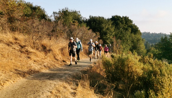
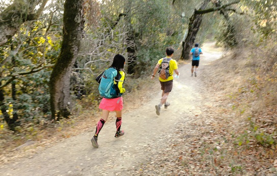
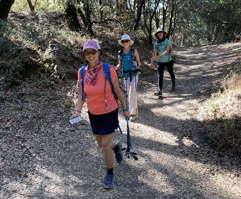
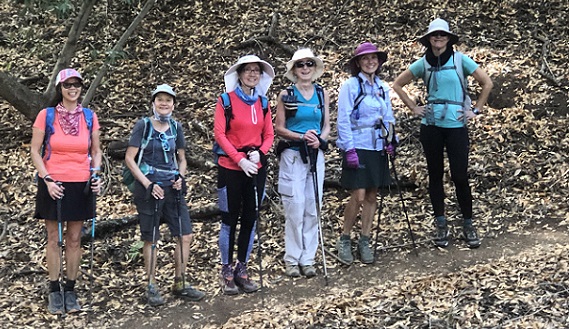
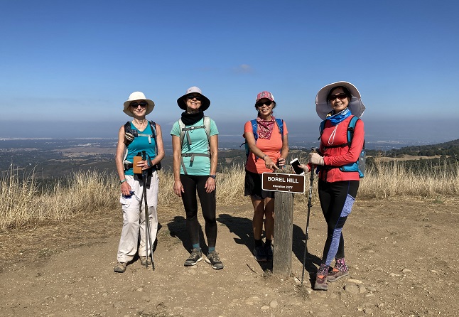
Hikers (26): Adam, Arush, Bjorn, Brad, Chinyet, Christina, Crystal, David A, Dong, Gela, George, Giulia, Hailong, Hong, Iris F, Jim, Manfred, Mihail, Nohemi, Peter, Rudi, Sarbinder, Sophie, Steve, Susan S, Yipeng
Distance: 25 miles
Rating: 5 difficulty, 8 beauty
Write-up by Steve and Peter -- Pictures by Chinyet, Dong, Hong, Iris, George, Sophie, and Peter
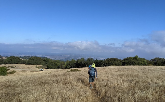
This was the first INCH level 5 hike in about 8 months -- since pre-COVID times! Big thanks to George and Rudi for scouting the Excellent Adventure Trail (GREAT) hike, including clearing out a secret connector trail from Foothills Park to Los Trancos.
(This was Peter's hike, but Steve wrote it up below)
Honorable mention to Soumya for doing a good portion of the hike before getting picked up by Arush on Alpine Road.
Ten years ago (!), INCH did a 30+ miler which involved the rarely-used Adobe Creek Trail. This is a different way to get to Black Mountain (or in that case, get off Black Mountain). When I saw this GREAT hike, I realized an Enhanced Route up to Black Mountain would make the hike GREATER.
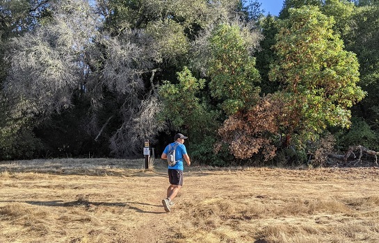
Started the hike four minutes after 8am. I was hiking quickly with the expectation of catching up with the slower hikers (Peter). As it turned out, I cut off a 0.35 mile section, putting me slightly ahead of the group. I had been on the first part of the hike the prior week, so didn't pull out a map until reaching the first "new" junction (up Deer Path). That's when the front runners caught up, much to our mutual surprise.
We crossed the road to take George and Rudi's upgraded trail. Despite the steepness, it had great footing. I was within spitting distance of the front runners on the way up, but once we reached the trail in Foothill, they ran off. The next group of INCHers--led by Nohemi--was always one switchback behind until the last sustained uphill section. That was good, because I didn't want to lead anyone astray as I left the official route by continuing on Page Mill Trail.
After a bit, I left the trail, crossed a dry creek, and picked a route up to Page Mill Road. This seemed to be a lot less popular than the earlier unofficial cross-country in Foothills, but I suspect there must be a better route since this is a great way to make a loop to Black Mountain. . .
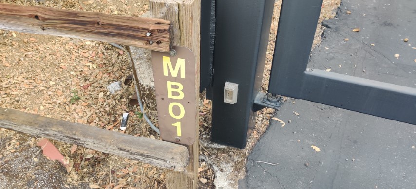
After a short walk down the road, came to the expected "MB 01" gate. Was surprised to see official signs welcoming people (and warning about CoViD), as it's not clear why people would enter here. . .Perhaps it is popular with bikers, as they could take car-free Montebello Road to the summit.
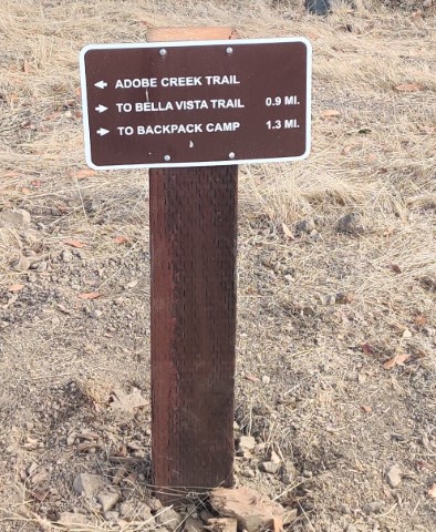
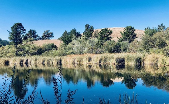
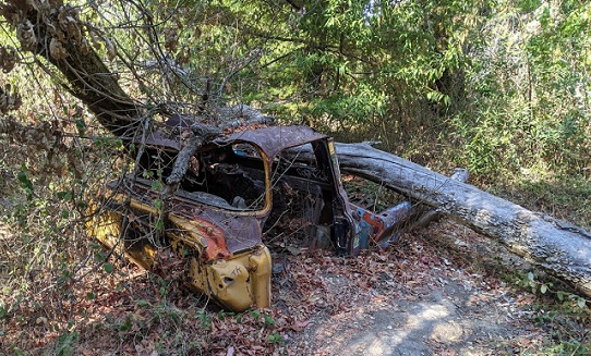
Very much enjoyed the steep uphill here compared to our prior visit coming downhill. This route is on Hidden Villa property, although you'd be hard pressed to get there from here. It's really there for the power lines, so had the place to myself. After a dip down to the West Fork of the namesake Adobe Creek, the trail headed steeply up to the famous picture spot from a decade ago.
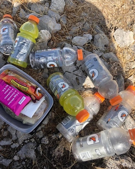
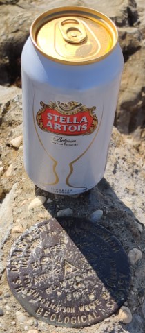
At the Black Mountain Backpack Camp, I crossed over to the official route, where the front runners were already returning from Black Mountain. Iris F stopped and pulled out a cylinder which contained. . .a very cold can of beer. Even better, she handed it to me! What did I do to deserve a beer? Why did she lug it up the hill? Does a dog question why it gets a treat? It was a fine surprise that I happily carried to the summit. As I sat down at a socially distanced rock to consume said treat, I noticed some nearby rocks were populated by Bjorn, Nohemi, Brad, and Susan.
The beer was my lunch, so I was finished before the rest of the INCHers. On the way down, I ran into "everyone else", who were all curious as to where in hell I came from. Everyone, that is, except Peter (and Manfred/Gela), who I never saw. Adam and I waved to each other as I passed underneath him on the Stevens Creek Nature Trail. Just after that point--like ten seconds--I ran into Soumya, who appeared to be enjoying a multi-course lunch (and blocking 33% of the trail). He asked if I'd been to Black Mountain. I didn't realize at the time he was apparently fueling up for the assent.
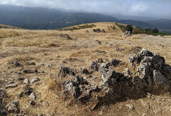
From that point, I started drinking as much water as possible since there was a refill available at the nature center. That worked our perfectly, as I was almost done with 3L upon reaching the location. Someone had de-CoViD'ed the water fountain, allowing a 2L refill for the last 7 miles. It wasn't necessary, but having water is a psychological thing. Passed (non-INCH) people left and right in Russian Ridge, which was the only park where I encountered rampant mask non-compliance. That being said, it also has very wide trails, so it's more about courtesy than efficacy.
Was happy to notice a connector trail directly across the street from Russian Ridge into Coal Creek--normally I walk down the road a bit. Maybe it has been there all this time. . .Whatever that case, it was downhill and more downhill. I had to take a break at the gate into the park because, despite gravity's assistance, the downhill was tiring. Bjorn, Nohemi, and Susan passed by as I ate some food and rested. Later on Alpine Road/trail, George passed by. I wasn't going slowly--INCH is hard core!
Was happy to get some uphill on the Lake Trail back into Coal Mine Ridge. I could feel the burn in my calves, but it was still easier than the downhill. I'd been in this area several months earlier, where I made a side trip to visit the summit of Coal Mine Ridge. That's not something one wants to do on a 24 mile hike, but it is a fun diversion for a standard Windy Hill hike.
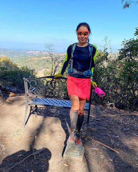
From there, it was Old Spanish Trail the whole way. As I neared the bottom, saw Bjorn and crew up ahead. They were consulting Bjorn's phone to see which way to go. I zipped by and said unhelpfully "You were here this morning!" and led the way. {This was my fourth time at this location in two weeks, so had an advantage}
From that point, there isn't much distance or elevation to get back to the parking lot. My distance was comfortably 25 miles, but several people were near the edge of 24.5, leading to concern that Peter would round down to 24. Even worse, he might recognize it was pretty easy with the cool temperatures and sub-5k elevation gain. Then we all laughed. TM!
Milestones:
Arush's 20th leaf
![]()
![]()
Pages maintained by Steve Walstra,
Peter Saviz, and
Russell Gee.
©2026 Intrepid Northern California Hikers