


| Main Page | Diary | Leaves | Stats |

36. Misery Village (02/14/26)
Hikers (11): Arlene, Christina, Gela, Giulia, Jeff, Manfred, Mihail, Milon, Qi, Sophie, Steve
Distance: 18 miles
Rating: 4 difficulty, 8 beauty
Park info: Grant Ranch County Park near San Jose
Write-up by Steve -- Pictures by Qi, Milon and Steve
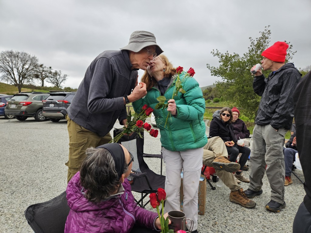
We started with 13 people, had 10 at the main summit, but ended up with 17 at the post-hike party.
Those who did the full hike visited the outskirts of The Villages followed by a section of Richmond Ranch Open Space.
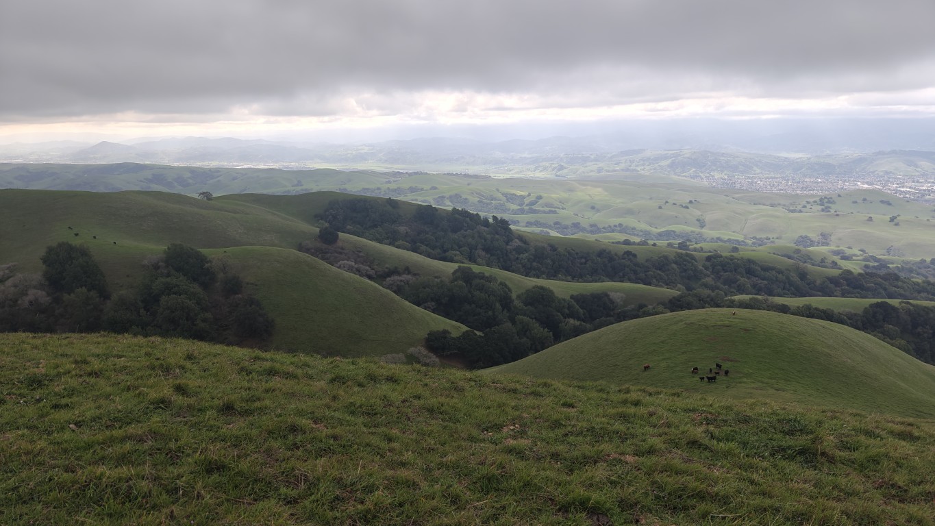
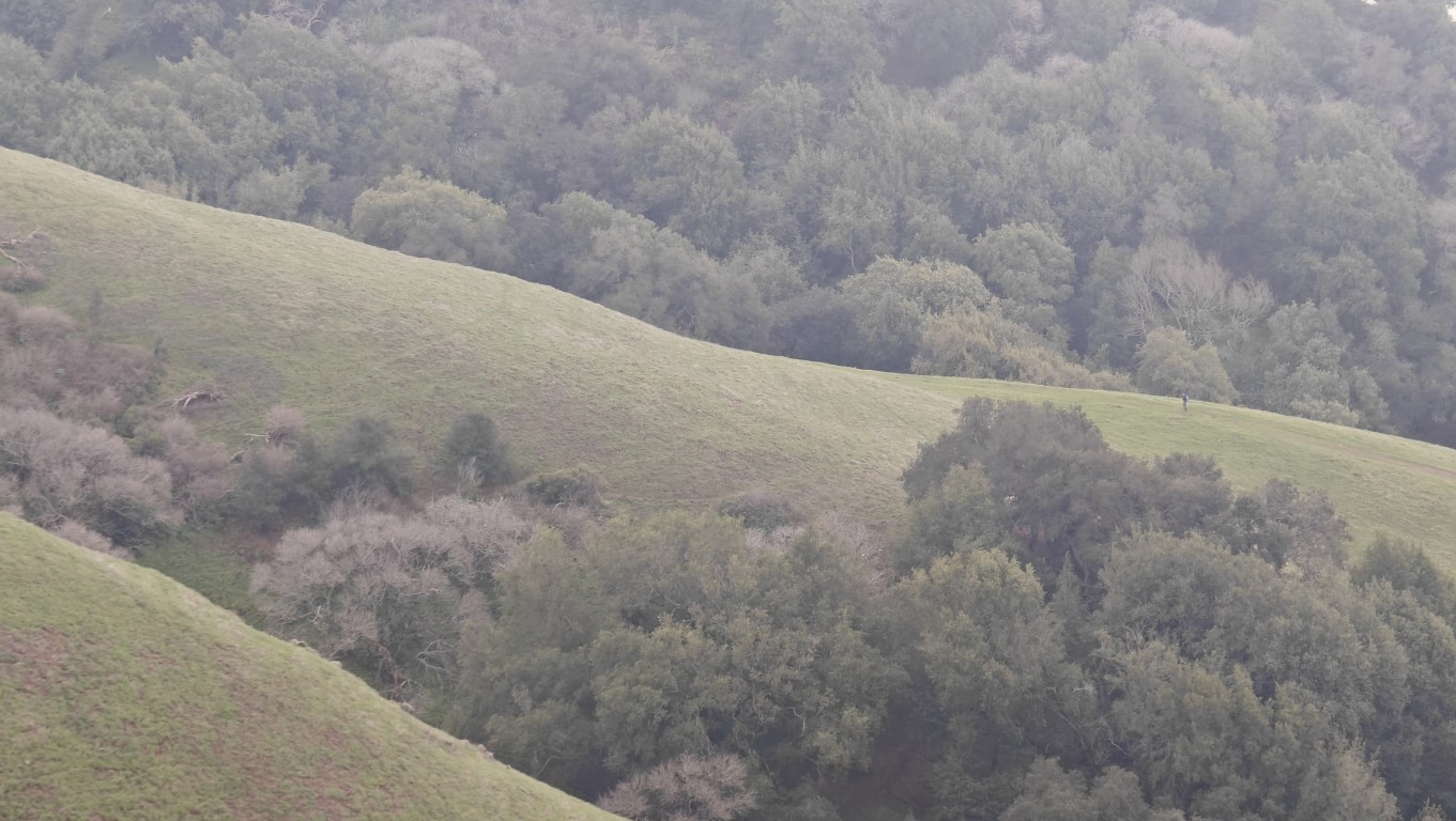
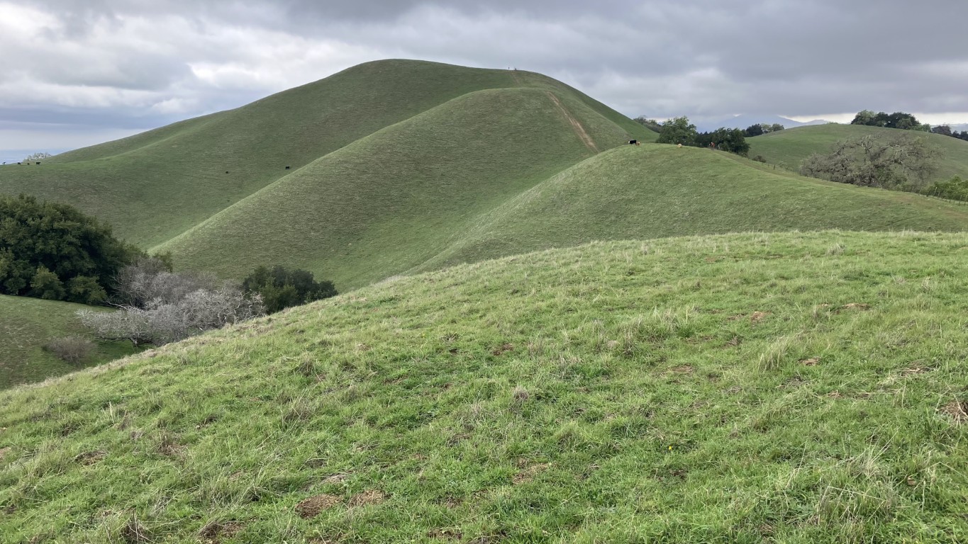
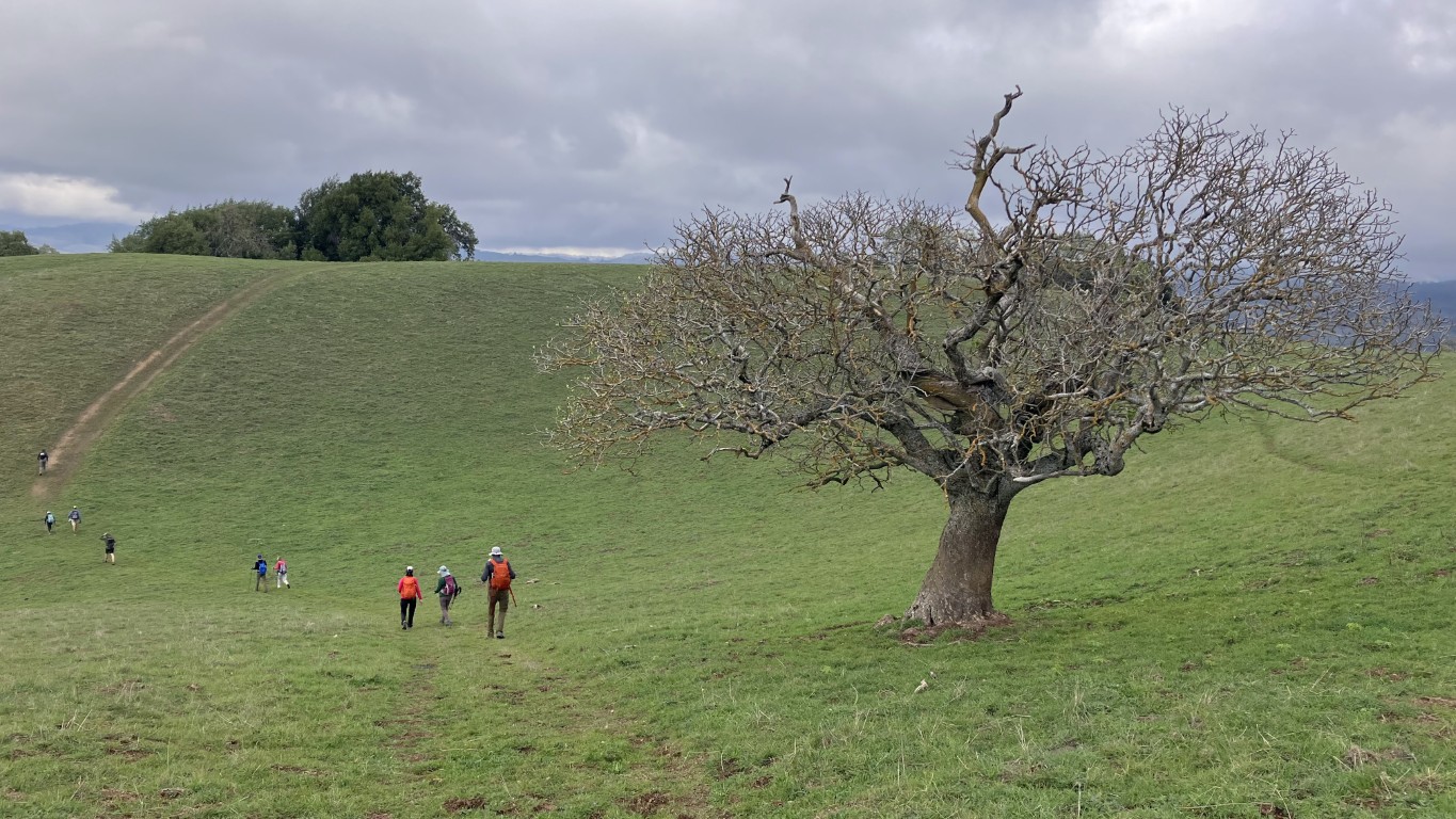
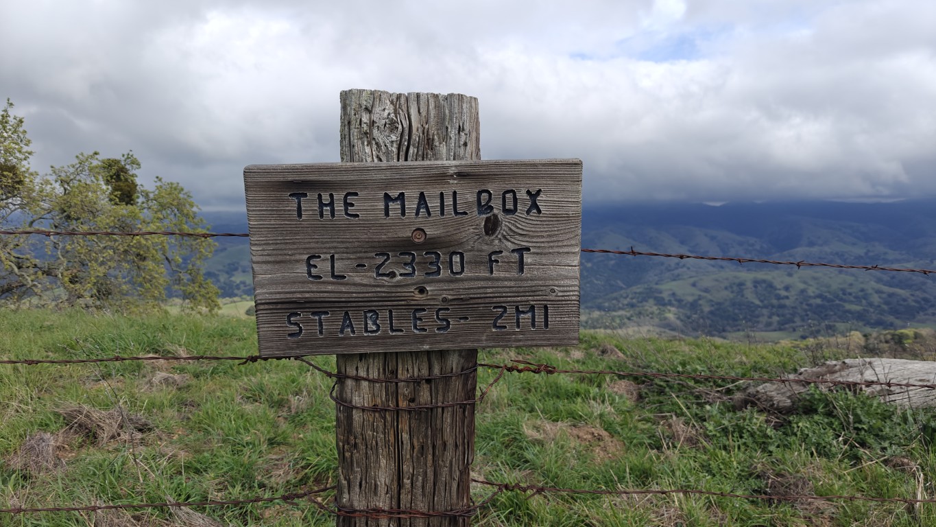
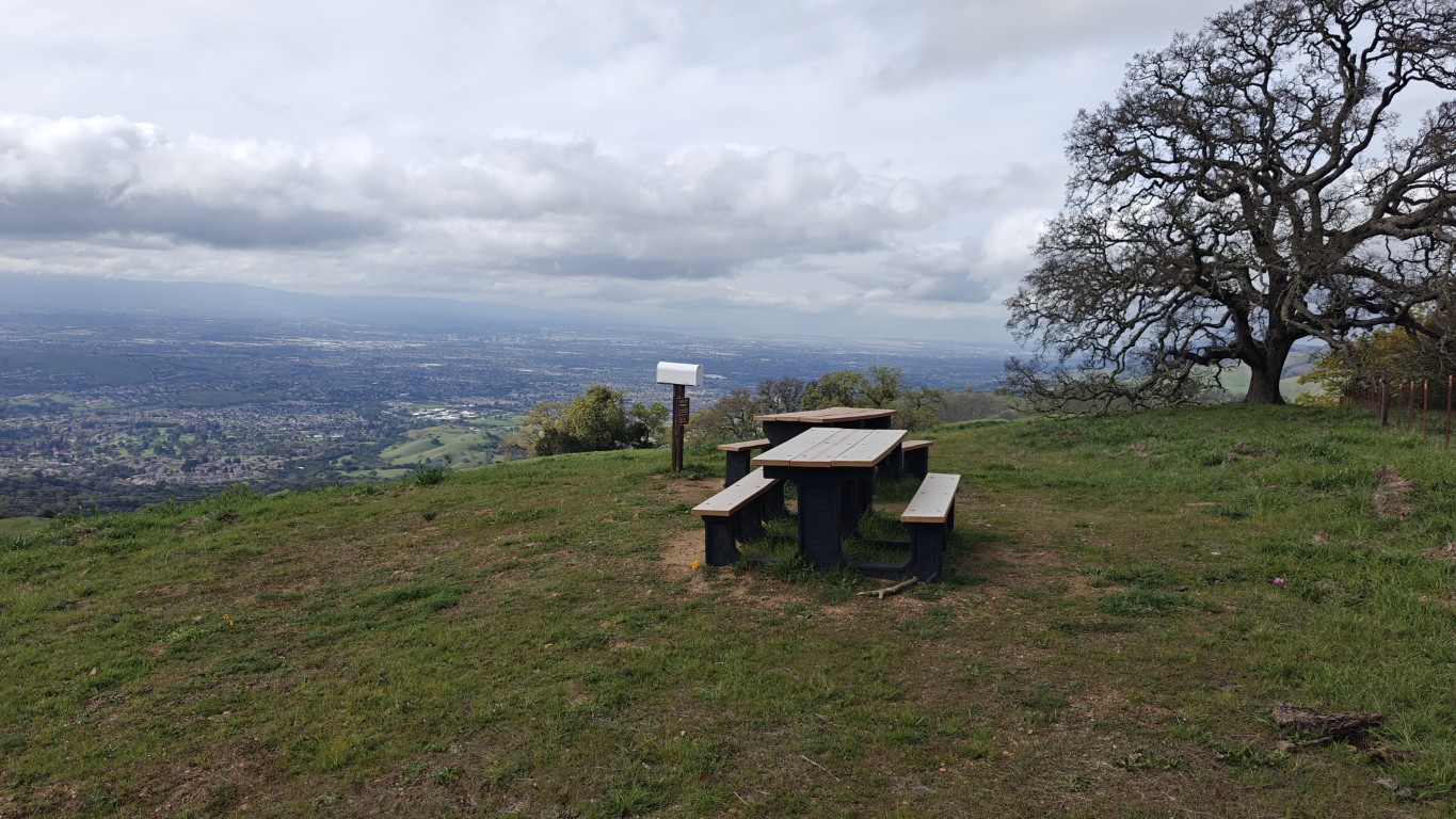
After the hike, I decided to double-check the "high point" status of San Jose. The City of San Jose has a great GIS database on-line, where I downloaded a KML map of the city limits and overlaid it on Google Earth to check out all the highest points. Indeed, the area we hiked is the highest point at around 2330 ft. The western extent of San Jose does not go too far into the hills except near Calero where it reaches almost 1800 ft (been there!). The second highest area in San Jose appears to be in Sierra Vista Open Space next to Alum Rock Park. We've been there. There is a benchmark at the highest point stamped 2125 ft. That locally mediocre peak, which only has a use trail going to it, probably deserves more fame.
Milestones:
Christina's 20th leaf
Pages maintained by Steve Walstra
©2026