The Plan
| Santa Clara County Parks: | 2017 | 2018 | 2019 | 2020 | 2021 | 2022 | 2023 | |||
| San Mateo County Parks: | 2020 | 2021 | 2022 | 2023 | 2024 | 2025 | 2026 |
My "normal" hiking group was in LA doing a hike I've done before, which afforded the opportunity to do something different. I had previously run across the Santa Clara County Parks #PixInParks Challenge. The challenge is to visit seven parks and take a picture at a designated location along the recommended trail in each of those parks. To be sure, the challenging part is finding the picture location, not the individual hikes themselves.
When I first came across the challenge, I had considered doing each of the parks with a longer version of the recommended hike. But that would require seven long hikes, which is a lot of weekends. Then it occurred to me: could all seven hikes be done in one day?
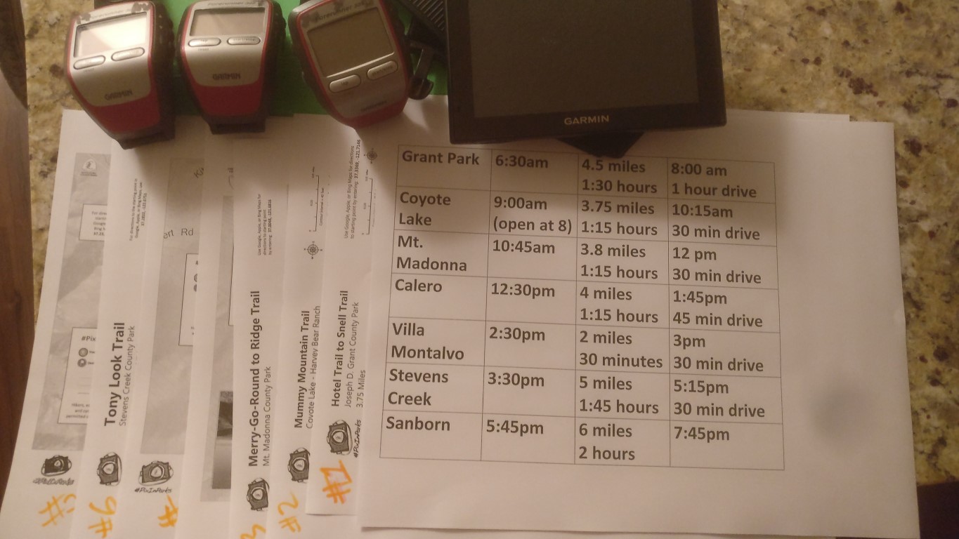
Practically, they cannot. But, you know. . .just for fun. . .what if one tried? Based on the shortest path between the parks and the length of hiking time for each hike (based on 3mph) it would take, in mid October, just about all day, non-stop, with a crack-of-dawn start before the most distant park opened. . .assuming no hitches. It would be around 30 miles of hiking and 120 miles of driving (Santa Clara County is big).
Woke up at 4:30am. Packed a cooler with two Gatorade bottles, two salted coffee beverages, a bottle of frozen water, and two peanut butter sandwiches to sate myself on the drives between the parks. Those who have hiked with me know that all of these are unusual, as I typically drink water and eat Cliff bars and gel. But, hey--I'm going to spend plenty of time in the car, so might as well take advantage of it.
Getting ready in the morning was too efficient, and after gassing up on the way to Grant Park, I started hiking at 6:02am, almost 30 minutes early. As such, it was earlier than the edge of civil twilight that I'd been planning. But that was OK, I had a headlamp to use at the start.
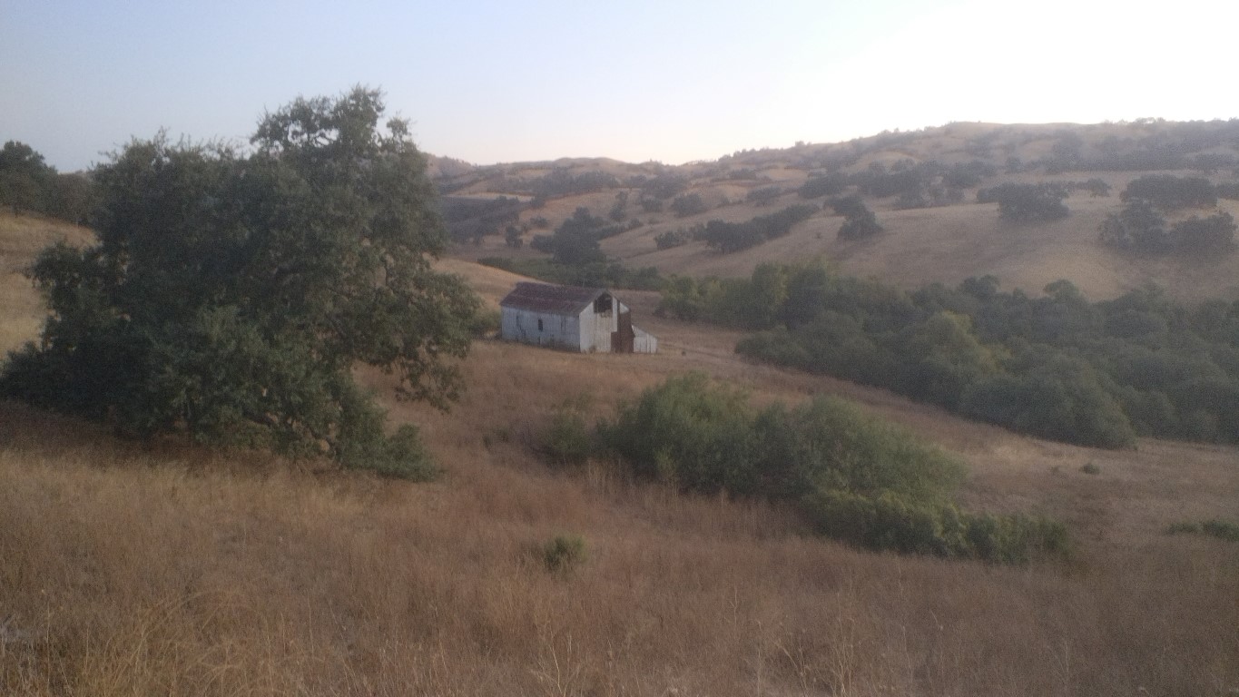
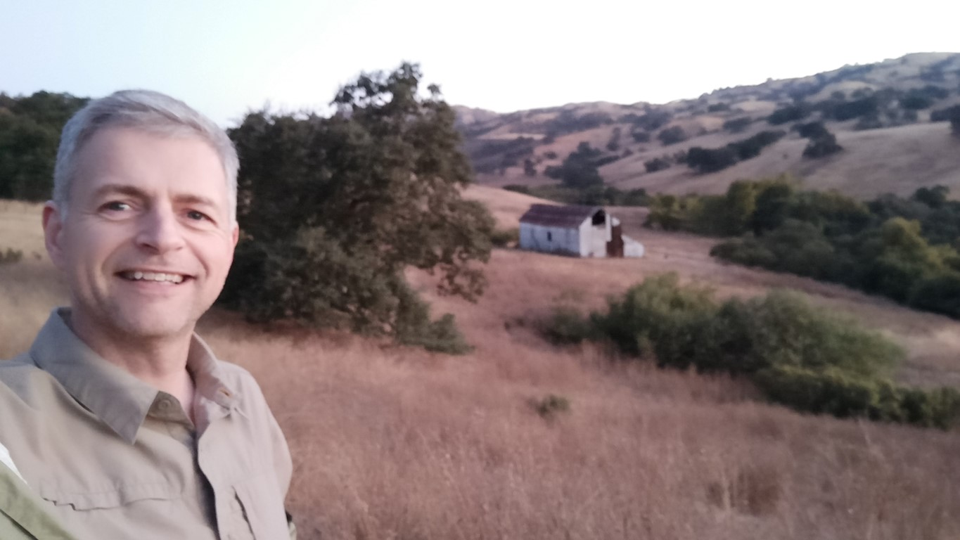
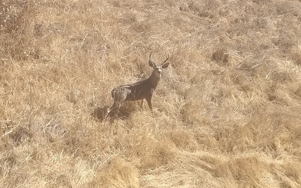
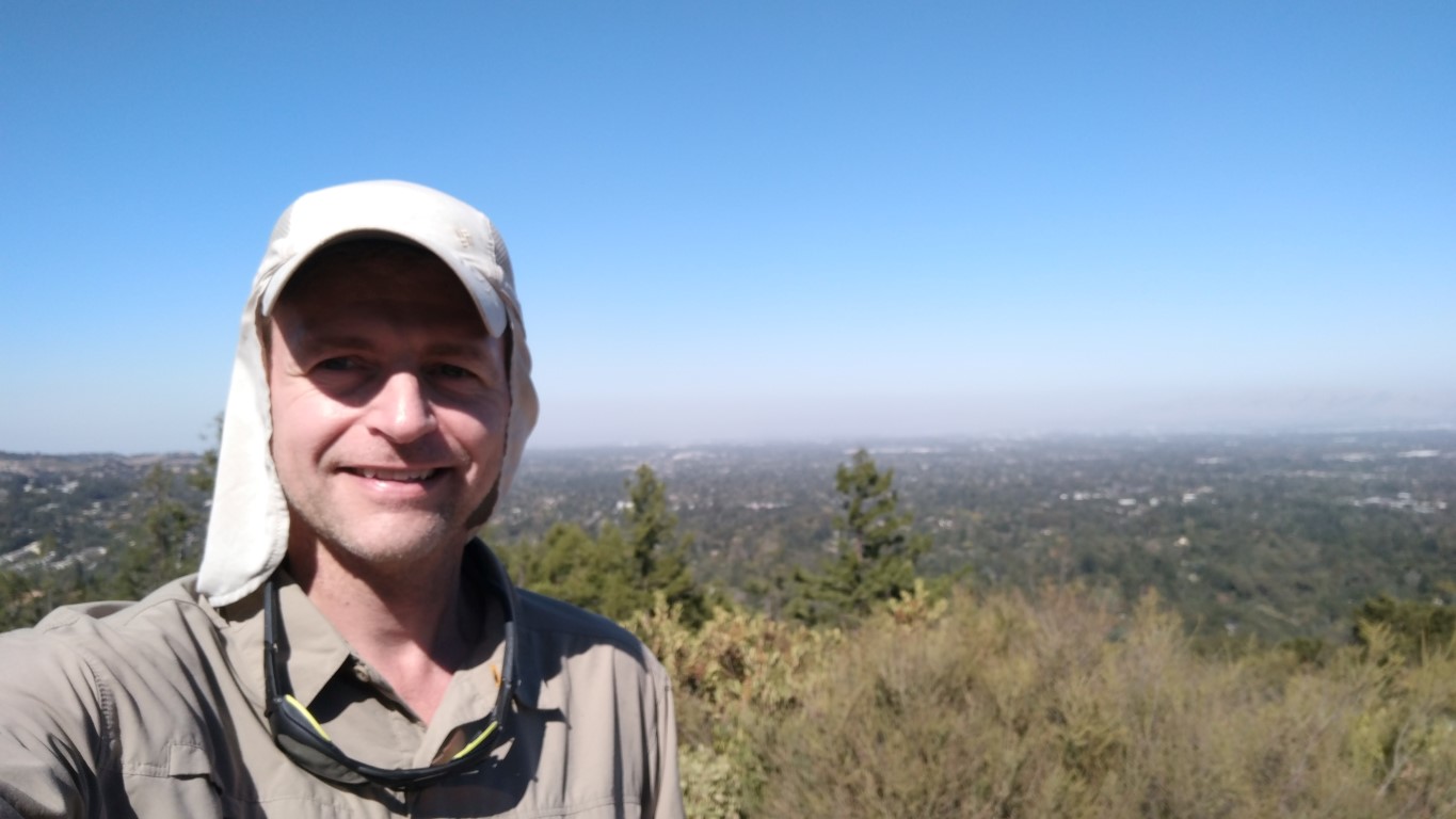
Since it was earlier than the park opened, I had to hike an extra mile from the road side. But I dutifully hiked into the interior "starting" parking lot to do the hike exactly as listed. Was expecting to see a boar or two, as they tend to show up in the early morning in Grant Park. Indeed, a rather large specimen and I were jointly startled along Corral Trail. I'd taken the clockwise segment of the loop to reach Snell barn as late as possible to get more light for the requisite picture.
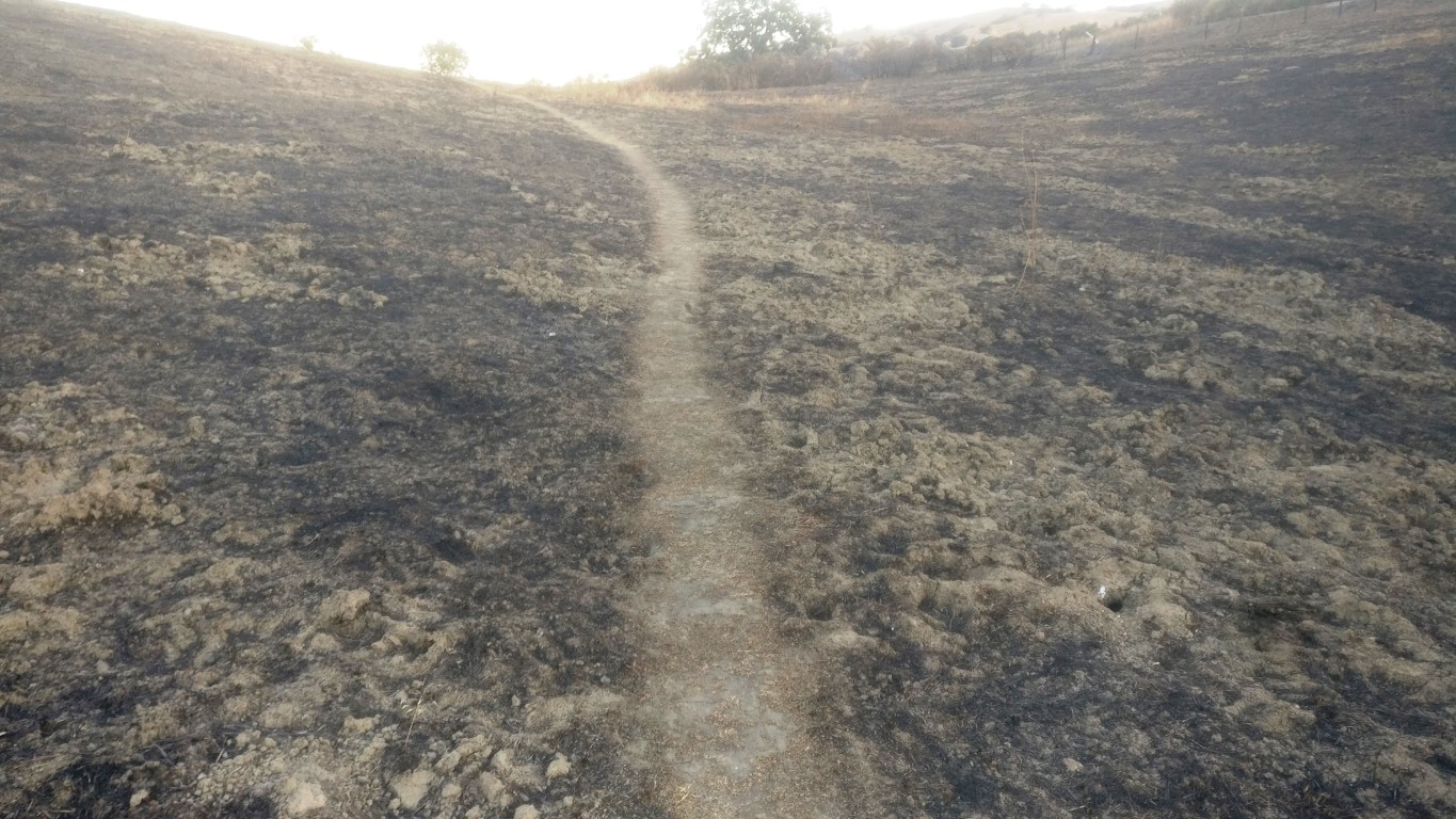
Had not realized there had been a fire on the edge of the park in the recent past. I had taken Hotel Trail (in the dark) from the road, but decided to make it a loop on the way back along the (well named) Loop Trail. It was certainly easier to follow after the fire than in the prior grassy days.
Got back to the car before 7:30, so was 30 minutes ahead of schedule. Although a bit longer than expected, I'd maintained a 4mph speed, so was in good shape. There were some good reasons for this--normally I hike in boots and am laden with water. For these short hikes on well established trails, I was hiking in shoes with no water. Thus, it really felt like a walk in the park.
Next stop was Coyote Lake, which was about an hour away. In the early morning, the drive went by a little faster as well. I was already hungry and downed half my sandwich supply.
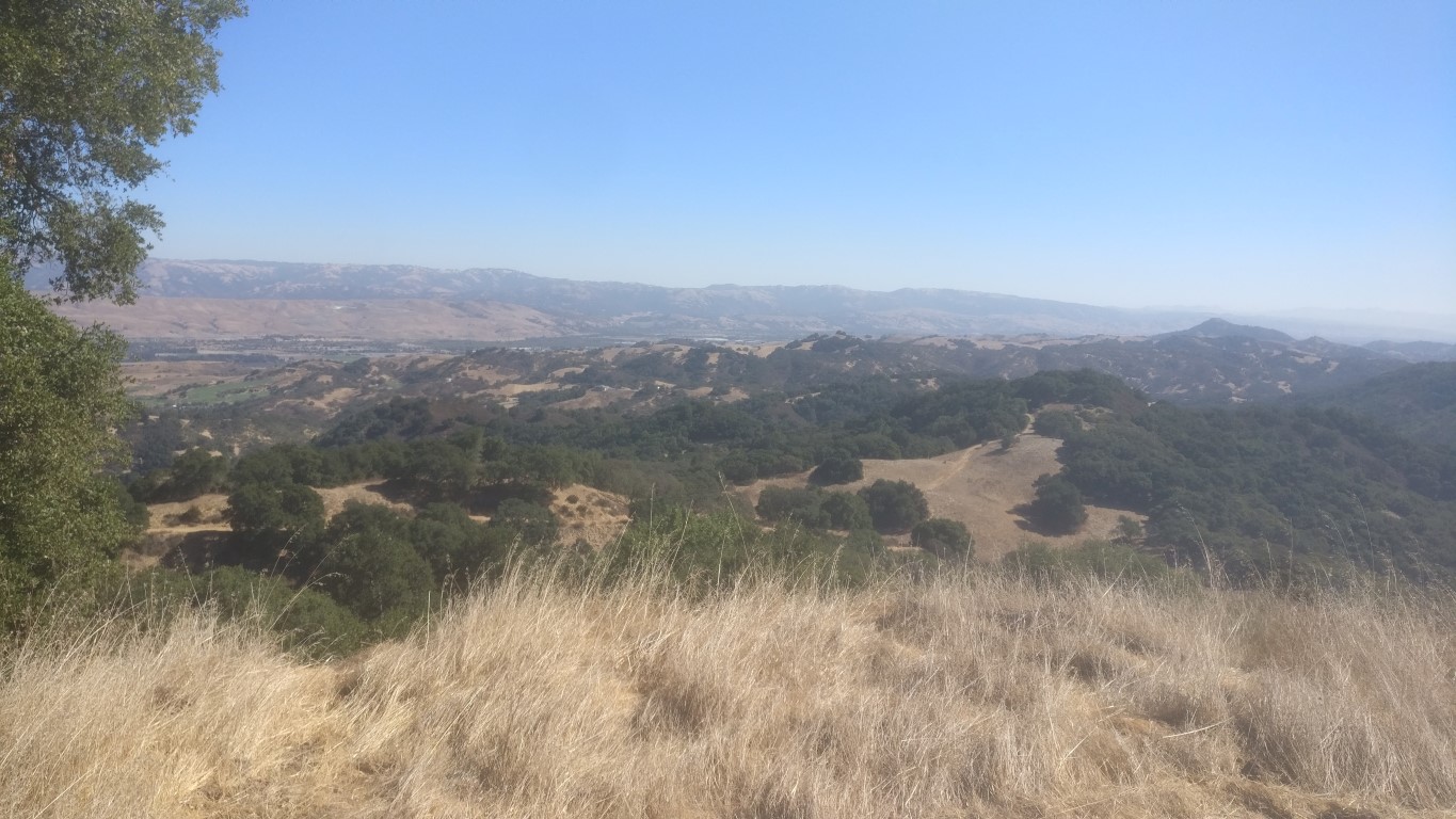
The route here was up and over Mummy Mountain, which is the best trail in the park. I'd never parked in the Mendoza Ranch area, and was happy to see it was free, since I wasn't spending much time here. Zipped up the trail to the overlook. It was a little hazy from the recent Northern California fires, but not worse than any hot summer day. Took the pictures and completed the loop. Only ran into one group of people on the hike, but knew it would get increasingly crowded in the various parks as the day wore on.
Was still managing a 4 mph pace, and was over 45 minutes ahead of schedule now, which meant it was possible I wouldn't have to end in the dark. I celebrated with one of the cans of coffee drink I'd brought. In the process of trying to minimize the "transition time" between hiking and driving, I opened up the can, fired up the car GPS, and backed out of the parking space. Upon accelerating, cool coffee beverage spilled all over the place. . .Oh well.
Next stop was Mt. Madonna County Park. I hadn't been there in a while, mostly because no matter how you slice it, the park is slightly too small for a long hike. It's also not adjacent to anything else (see "Calero"), so there is no way to extend it. Surprisingly, the recommended route did not even go to the namesake summit. Instead it went to "Tie Camp Viewpoint". I was glad to have estimated the location of the viewpoint from the map with a waypoint, because there is nothing besides the view to tell you you are there. I was sort of expecting an actual camp or a sign, but nope, there was just a nice viewpoint near the icon on the map.

The hike was almost exactly the length suggested, and the hike went by at a good clip, so was now almost 1:15 ahead of schedule. A daylight finish was looking better by the minute.
Next up: Calero County Park. This is one of the best hiking parks of the Santa Clara County Park system because it has nice adjacencies to other parks, particularly Rancho Cañada del Oro Open Space. Soon (hopefully) we can all hike from Calero through Rancho San Vicente to Almaden Quicksilver, which opens up a hike from Calero to Mt. Umunhum. Who knows, maybe Blair Ranch on the other side of Rancho Cañada del Oro will open as well.
It had been a bit warm in Mt. Madonna, so polished off one of the Gatorade bottles en-route to Calero. The hike for this picture required starting from the Rancho Cañada del Oro parking lot, rather than Calero's main lot. While quite a short hike for Calero, it was still fun to visit, and the views are always good.
Despite a 3.7mph pace and fairly accurate distance, by the time I was ready to leave for the next stop, I hadn't gained any margin. This was probably due to the slower drive along the local roads between the parks, which are not always as fast as the speed limit suggests.
Next stop was Villa Montalvo. Ran into stop-and-go traffic on Highway 17 for a bit, and was happy to leave that traffic when exiting into Los Gatos. I've only been to this park once before, to hike a use trail that goes far outside the tiny park itself. Otherwise, it's way too small for a 'legit' hike. Drank my last coffee drink along the way, more for the fluid than the caffeine perk.
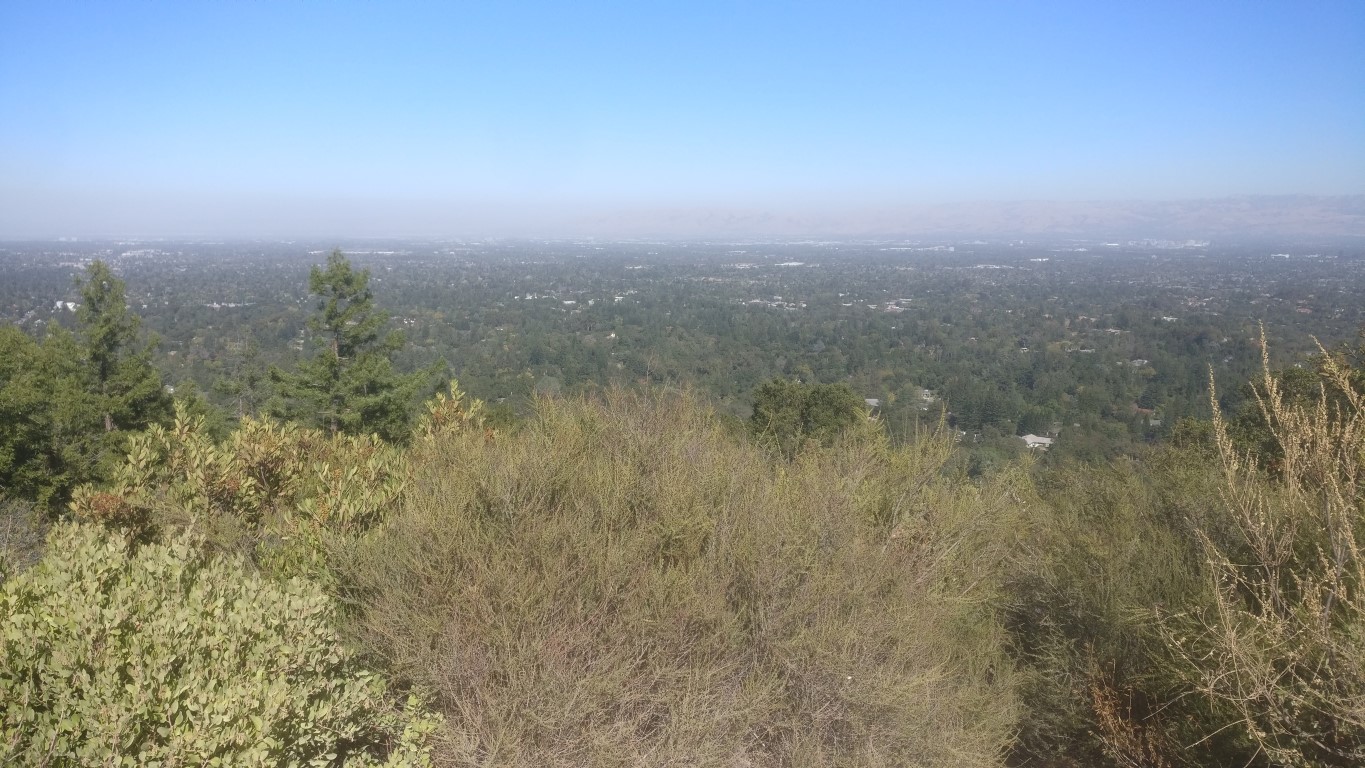
Parked in the last parking lot along the one-way road. This is the parking area the park prefers hikers use, and the name of the lot (#4) would have been a useful supplement the coordinates on the provided map. The hike was nice and mostly shaded. As it was now after noon, there were plenty of people out on the trail. Had to wait for an opportunity to snap some quick pictures at the lookout. The group ahead of me needed to take six pictures of every family member.
I hadn't expected this hike to take much time, and it didn't. But with the traffic and everything else, I had lost fifteen minutes of buffer. Enjoyed my second sandwich for lunch while heading off to Stevens Creek.
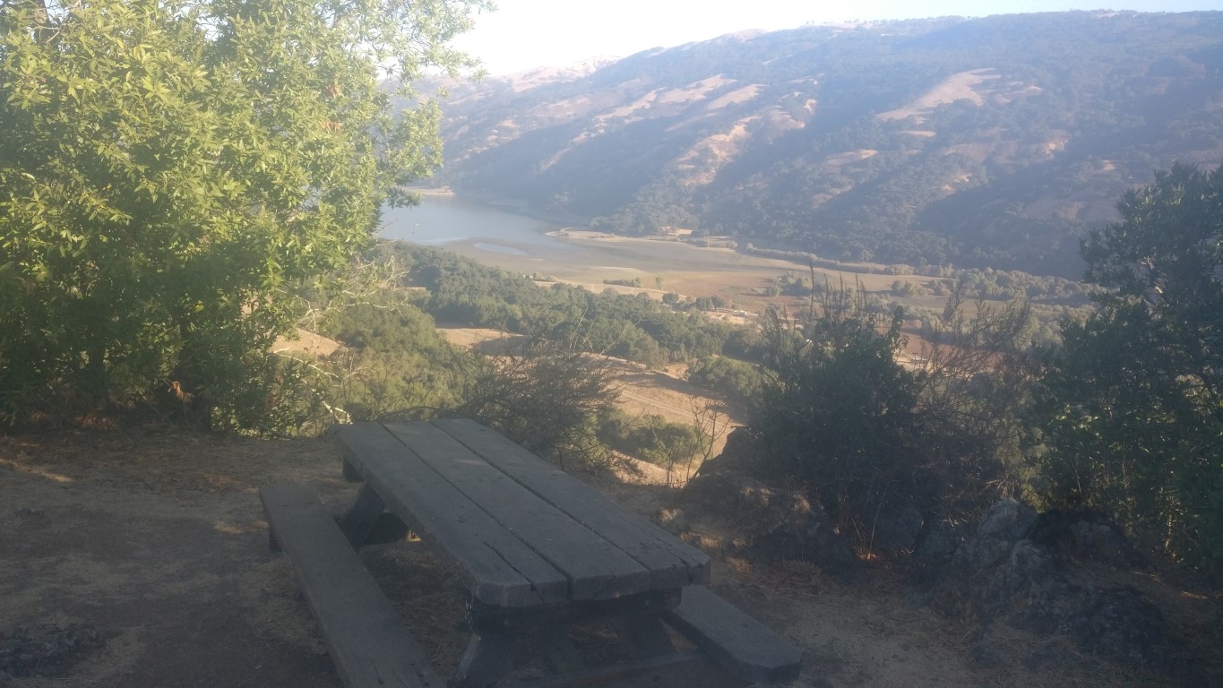
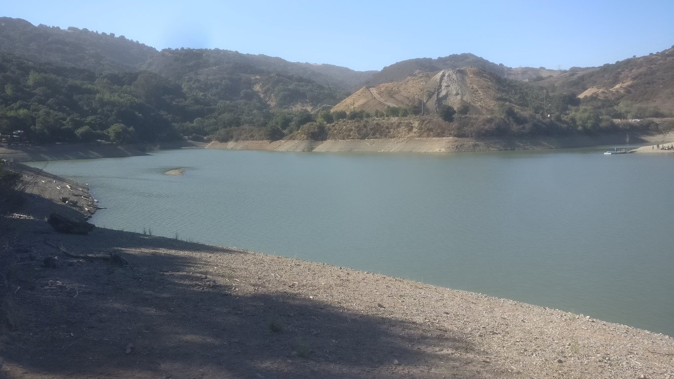
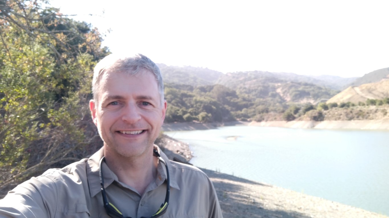
Stevens Creek County Park is somewhere I've hiked through many times when going from Fremont Older to Picchetti. That connecting segment goes through the "Sycamore Group Area", but I didn't know it by that name. Thus, I assumed the recommended parking in "Madrone Group Area" was Sycamore. The listed coordinates seemed to line up as well. But this seemed like a weird choice since the Sycamore area requires a reservation. . .and indeed, when I got there, it was rented out. The lot was full of shiny old collector cars, and they had a string band playing some ancient classic tune. I had parked out on the road nearby and walked in. A quarter mile down the trail I passed the Madrone parking area and realized my folly. Oh well, a bonus half-mile of hiking, complete with a little hill in the middle so I could enjoy it twice as much.
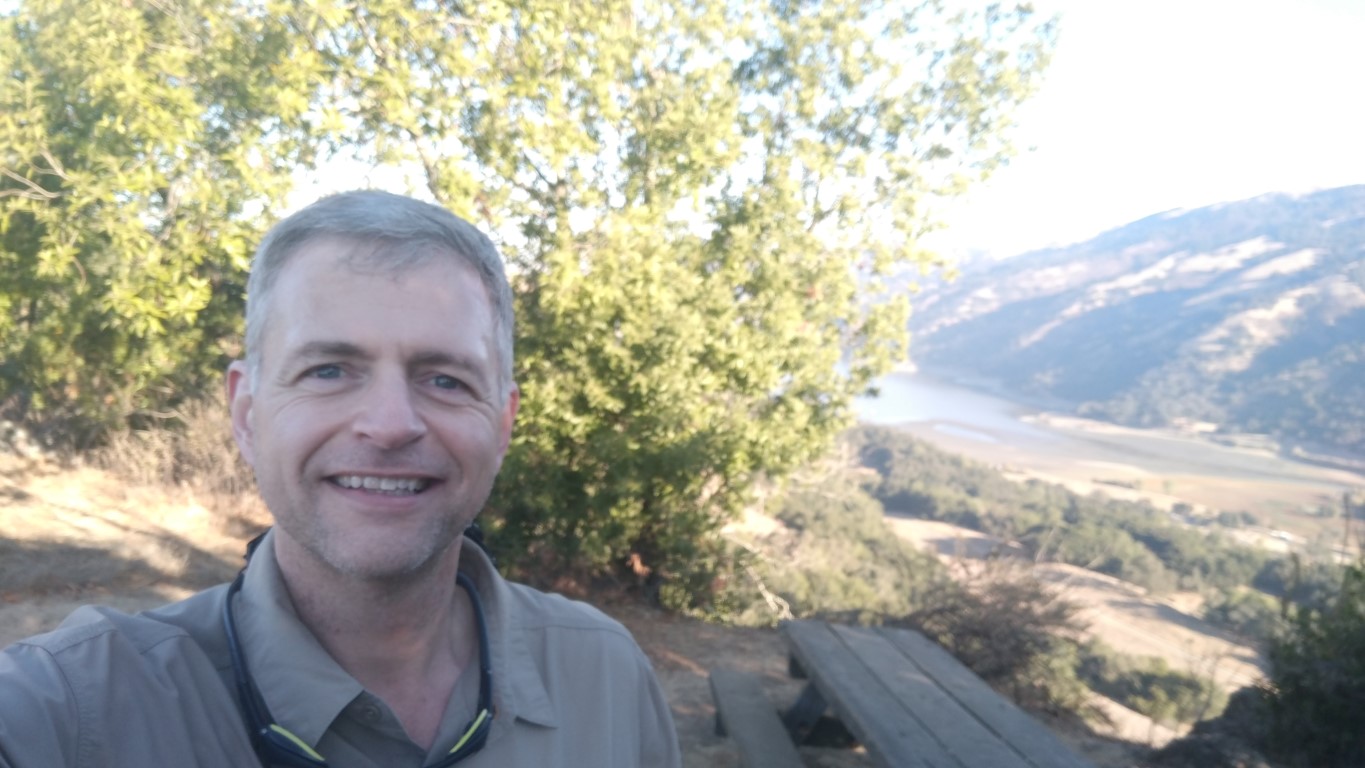
Followed the undulating trail to the final turnout that heads to the loop viewpoint on the reservoir edge. I'd never taken this scenic spur on previous hikes, so was happy to reach a new location. Just before reaching the final turn, a large group of people coming from the opposite (easy!) direction headed down the same trail. Luckily, I was able to pass them and take all my pictures before they swarmed the viewpoint.
Had buffered a little extra time for the above penultimate section, figuring the long day would start taking a toll. But despite the additional distance, was still making good time. I was now 1:25 hr ahead of the schedule, meaning I could plausibly finish before sunset if I hightailed it. I was pretty dehydrated at this point, and gulped down the final bottle of Gatorade on the way to the last hike.
The final park was Sanborn. Due to the not-so-recent landslides, the parking location for the hike had been moved to a different location along the road. As such, the original photo location had been moved from the "Bridge" on John Nicholas Trail to the "Bench" on the same trail. I luckily discovered the change two days before the hike while checking something else on the website. Turned out there had been three changes in the maps/locations since I had downloaded the details a few months earlier.
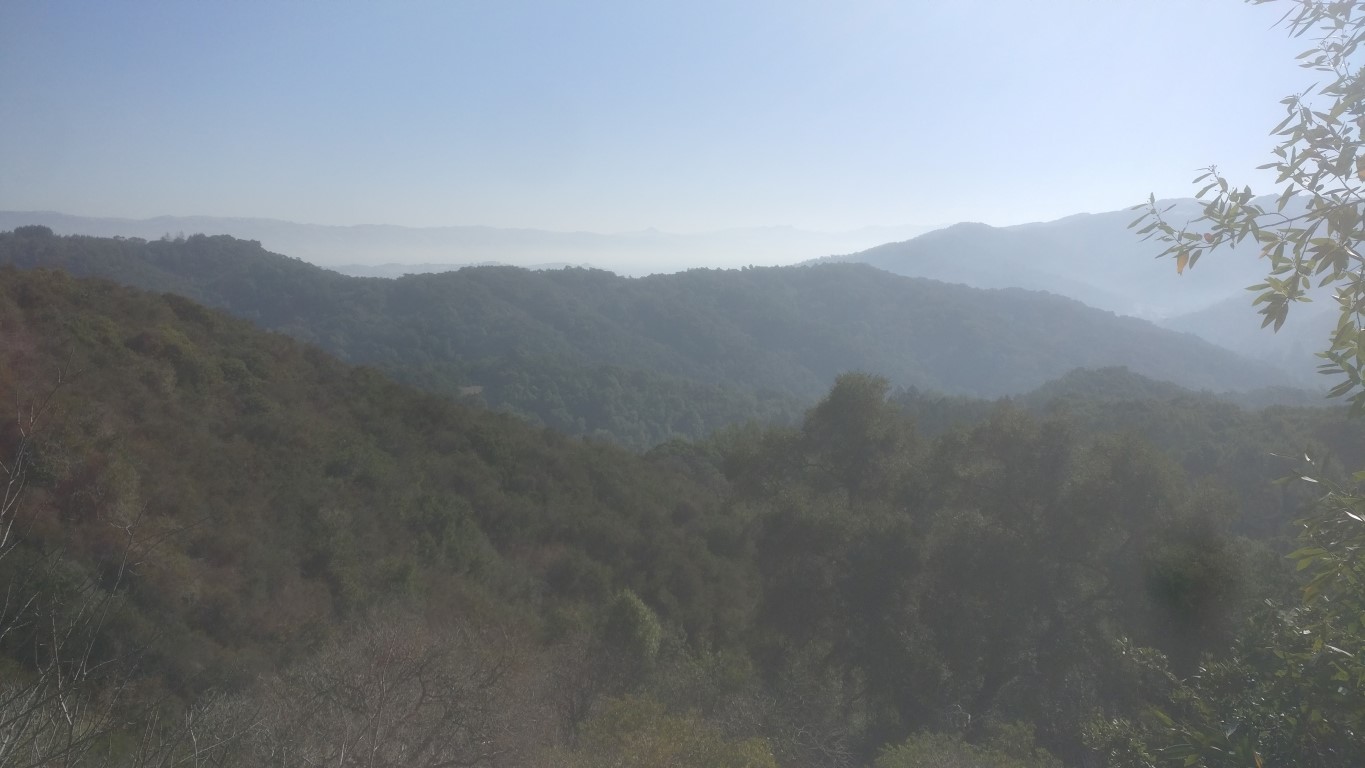
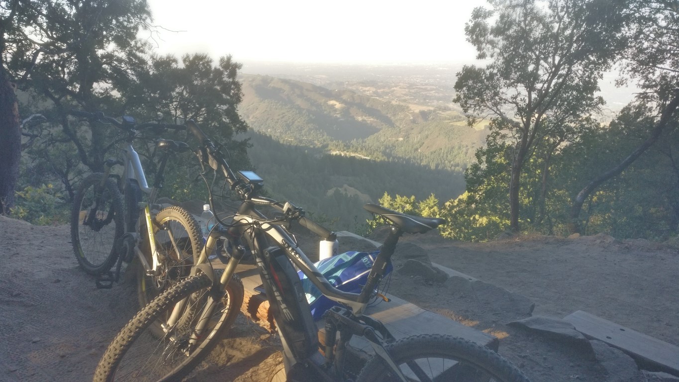
The "new" parking area was crowded with the vehicles of people avoiding the nearby Castle Rock parking fee, but found a spot on the Indian Rock side exactly where this last leg starts. Things were looking good! I was thinking on the drive up that this "interval hiking" seemed to make things feel pretty easy. By now I'd hiked 25 miles and had six more to go. I wouldn't normally feel so good at mile 25 of a 31-mile hike. The intervening rest periods must have helped (or maybe it was the peanut butter sandwiches). Headed down the trail, past the main Sanborn trail, and over to the top of the John Nicholas Trail. For that whole section, there were more bikers than hikers.
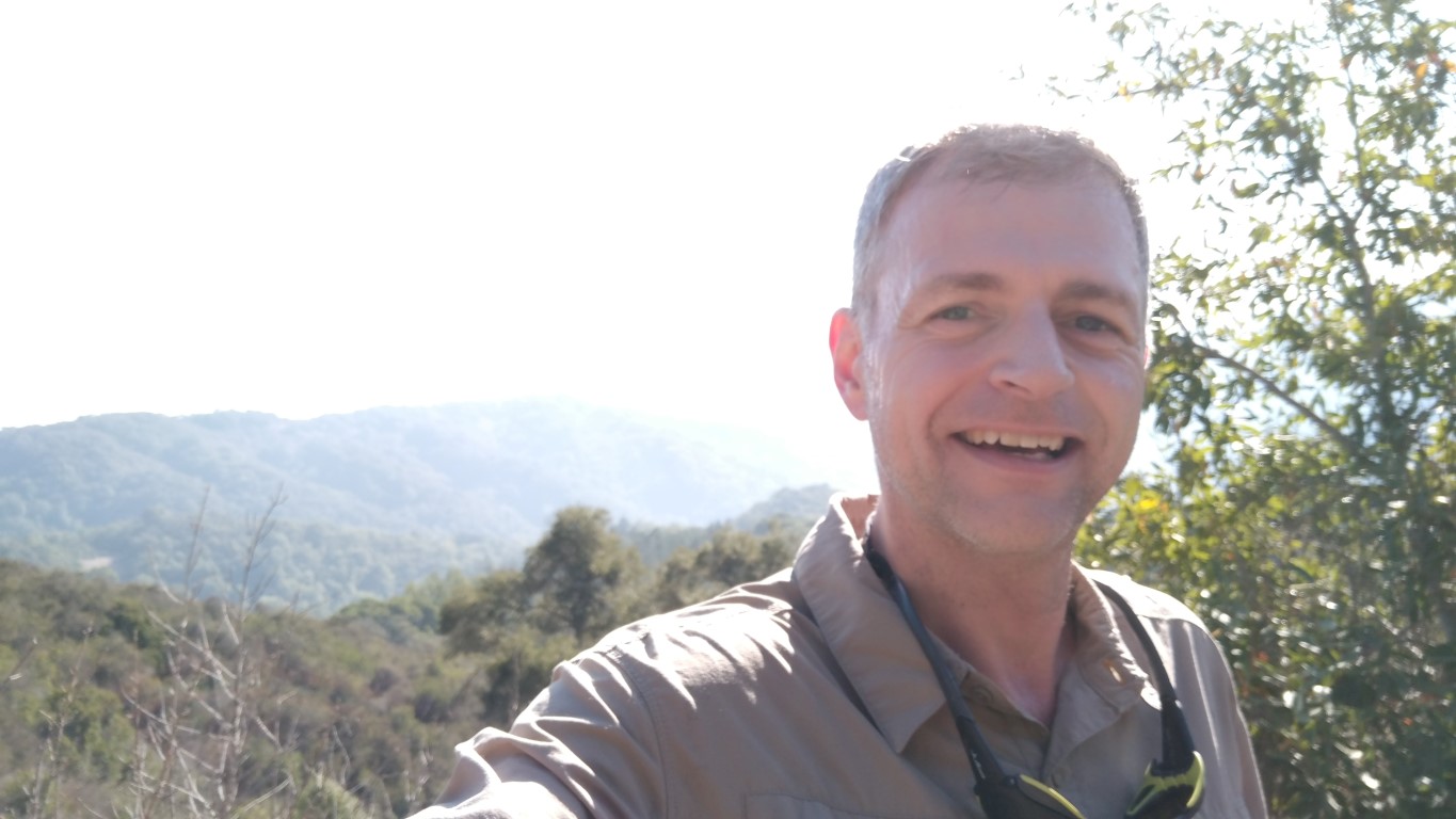
As I reached ground zero, there were two bikers sitting there smoking. What are the odds that someone would be utilizing that bench in the late afternoon when the general park is less accessible due to the road being out? Well, pretty good at this point. I told them why I was there, and they kindly vacated so I could snap a couple pictures.
It had only taken 50 minutes or so to go the 3 miles to the bench, so now looked like I could get back to the car by 6pm, making it a 12-hour ordeal. That was the motivating force on the way back since all the pictures were in hand. Completed the hike around 5:57pm. So the whole adventure, from the start of Grant Park to the end of Sanborn, was 11 hours and 55 minutes, with 30.7 miles of hiking and 5.6k ft of elevation gain.
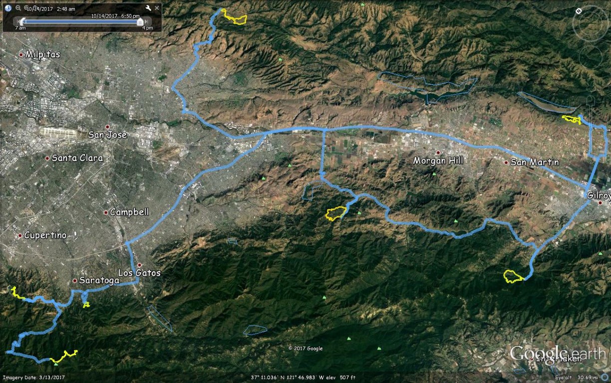
With a GPS in the car (which had been pre-loaded with the seven trailheads) and a GPS (or two) on my wrist, I could make a final picture of the whole trip in Google Earth using the tracks. Now, how do I get that fine shirt without an Instagram account? Guess I could make a web page. . .
Prolog:
Received the commemorative nice-quality shirt and, as a surprise bonus, some additional 60th Anniversary County Park swag. Awesome!